Specialized Zone · Morocco

Berkane Agro-Pole Active
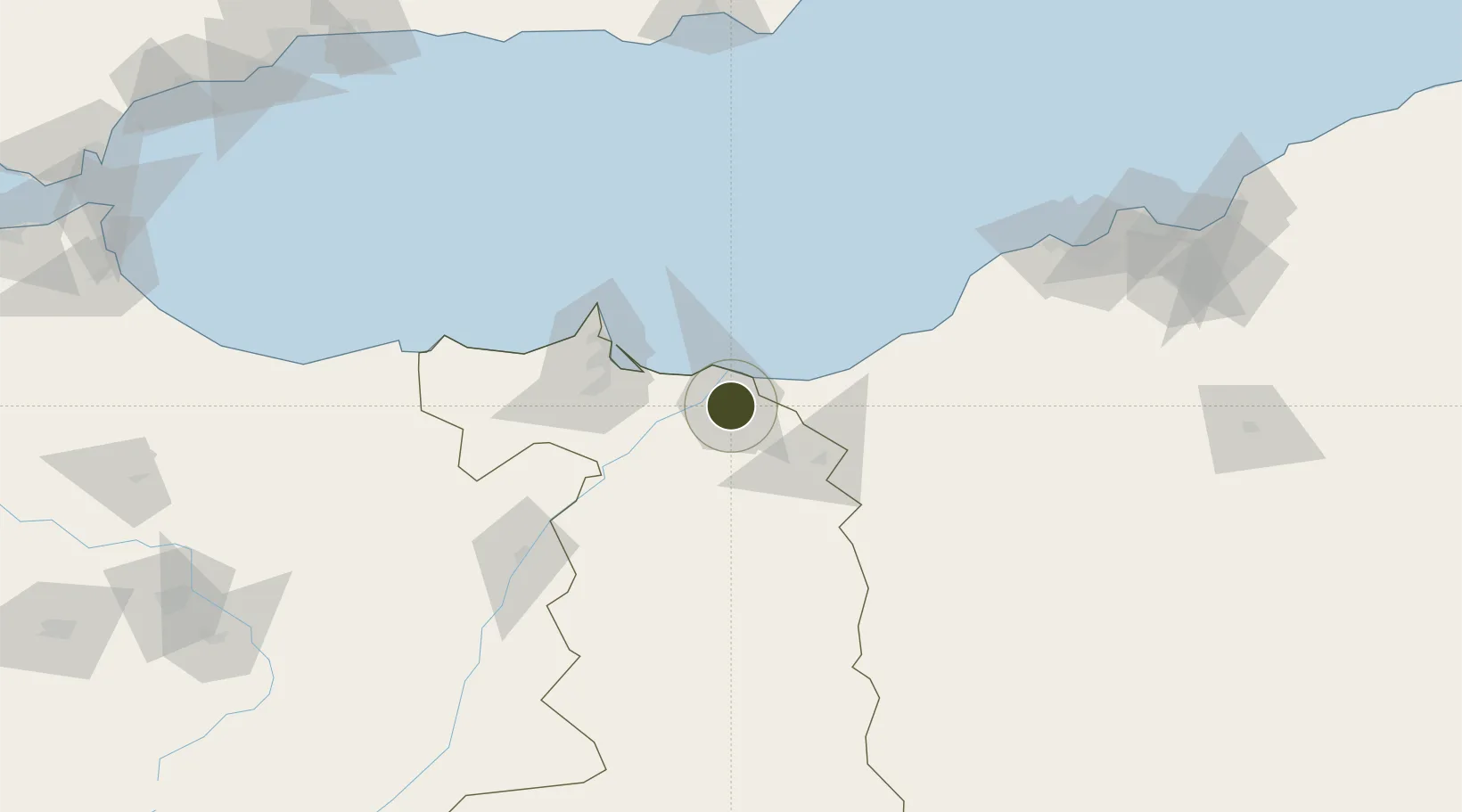
34.9528°, -2.3278°
102 ha
Zone area
45.1 km
Nearest port
40.9 km
Nearest airport

Gateway access

Nearest neighbours — logibook spatial index (haversine) over the source coordinates

Zone profile

Zone type
Specialized Zone
Open Zone Map
Specialization
Agriculture
Open Zone Map
Region
Oriental
Open Zone Map
Status
Active
Open Zone Map
Management
Public
Open Zone Map
Operator
Morocco Ministry of Industry
Open Zone Map
Legal framework
Dahir No. 1-95-1 dated January 26, 1995
Open Zone Map

Location

Location of ozm-2879
Natural Earth 10m (public domain) · Oriental · ozm-2879 · 34.95, -2.33GoogleOSMYandex

Nearby Logistics Neighbours

Ports
  1. 1Ghazaouet45 km
  2. 2Port Nador66 km
  3. 3Beni Saf94 km
  4. 4Port D Al Hoceima148 km
  5. 5Oran175 km
Nearest neighbours — logibook spatial index (haversine) over the source coordinates
Airports
  1. 1Oujda Angads Airport41 km
  2. 2Nador Al Aaroui International Airport64 km
  3. 3Melilla Airport68 km
  4. 4Zenata – Messali El Hadj Airport80 km
  5. 5Cherif Al Idrissi Airport140 km
Nearest neighbours — logibook spatial index (haversine) over the source coordinates
Cities
  1. 1Saidia17 km
  2. 2Ras El Ma19 km
  3. 3Ghazaouet47 km
  4. 4Nador65 km
  5. 5Melilla66 km
Nearest neighbours — logibook spatial index (haversine) over the source coordinates
Trade Zones
  1. 1Melilla Autonomous Community67 km
  2. 2Nador WestMed Free Zone83 km
  3. 3Ait Kamra Economic Activity Zone152 km
  4. 4Fès Shore Industrial Park263 km
  5. 5Tetouan Shore Industrial Park281 km
Nearest neighbours — logibook spatial index (haversine) over the source coordinates
DatabookThe Record of Consolidated Knowledge
Morocco beyond logistics?
Browse databook

All Sources

Trade ZonesOpen Zone Map
CC BY
Portsthe NGA World Port Index
Public domain (US gov)
AirportsOurAirports
Public domain
LocationsUN/LOCODE
UN/LOCODE — free
← Morocco trade zones