Free Trade Zone · Morocco

Nador WestMed Free Zone Active
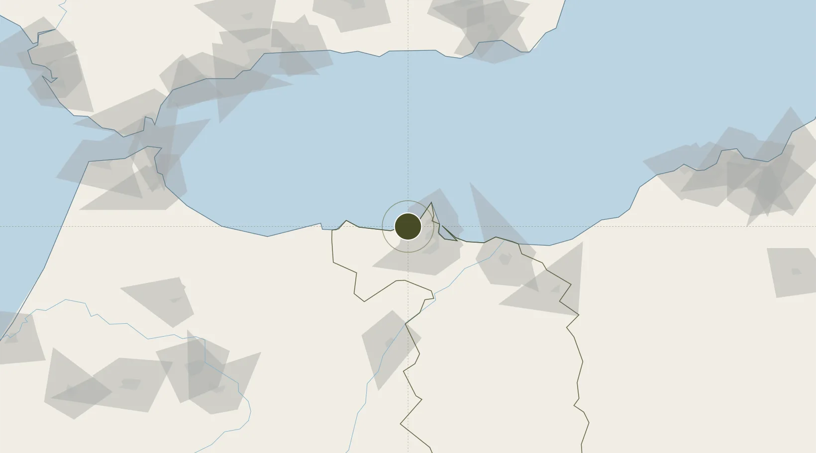
35.2384°, -3.1698°
1,500 ha
Zone area
22.0 km
Nearest port
19.9 km
Nearest airport

Gateway access

Nearest neighbours — logibook spatial index (haversine) over the source coordinates

Zone profile

Zone type
Free Trade Zone
Open Zone Map
Region
Oriental
Open Zone Map
Status
Active
Open Zone Map
Management
Private
Open Zone Map
Operator
Nador West Med, S.A.
Open Zone Map
Legal framework
Dahir No. 1-95-1 dated January 26, 1995
Open Zone Map

Location

Location of ozm-2878
Natural Earth 10m (public domain) · Oriental · ozm-2878 · 35.24, -3.17GoogleOSMYandex

Nearby Logistics Neighbours

Ports
  1. 1Port Nador22 km
  2. 2Port D Al Hoceima68 km
  3. 3Ghazaouet119 km
  4. 4Beni Saf162 km
  5. 5Adra167 km
Nearest neighbours — logibook spatial index (haversine) over the source coordinates
Airports
  1. 1Melilla Airport20 km
  2. 2Nador Al Aaroui International Airport31 km
  3. 3Cherif Al Idrissi Airport61 km
  4. 4Oujda Angads Airport124 km
  5. 5Zenata – Messali El Hadj Airport158 km
Nearest neighbours — logibook spatial index (haversine) over the source coordinates
Cities
  1. 1Melilla23 km
  2. 2Nador23 km
  3. 3Al Hoceïma69 km
  4. 4Ras El Ma71 km
  5. 5Saidia87 km
Nearest neighbours — logibook spatial index (haversine) over the source coordinates
Trade Zones
  1. 1Melilla Autonomous Community22 km
  2. 2Ait Kamra Economic Activity Zone74 km
  3. 3Berkane Agro-Pole83 km
  4. 4Tetouan Shore Industrial Park199 km
  5. 5Autonomous City of Ceuta208 km
Nearest neighbours — logibook spatial index (haversine) over the source coordinates
DatabookThe Record of Consolidated Knowledge
Morocco beyond logistics?
Browse databook

All Sources

Trade ZonesOpen Zone Map
CC BY
Portsthe NGA World Port Index
Public domain (US gov)
AirportsOurAirports
Public domain
LocationsUN/LOCODE
UN/LOCODE — free
← Morocco trade zones