Large airport · Morocco

Oujda Angads AirportGMFO
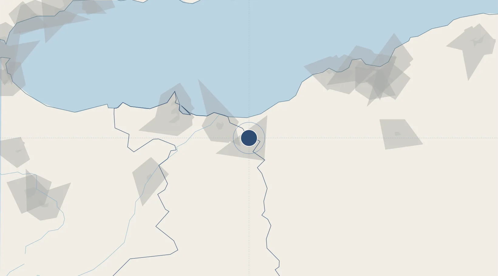
34.7896°, -1.9260°
9,843 ft
Longest runway
2
Runways
1,535 ft
Elevation

Runway & Layout

Oujda Angads Airport runway & taxiway layout
Runway & taxiway layout — OpenStreetMap (ODbL) / OurAirports

Radio Frequencies

ATIS
121.6 MHz
TWR
118.2 MHz
OUJDA TWR
APP
136.6 MHz
OUJDA APP
OurAirports

Navaids

CNU NDB Oujda 371 kHz
OJD VOR-DME Oujda 117.50 MHz
OurAirports

Runways · 2

RunwayDimensions SurfaceTrue headingLit
06/24 9,843 × 148ft Bitumen 058°
13/31 9,843 × 148ft Asphalt 132°
OurAirports

Airport Specifications

IATA code
OUD
OurAirports
ICAO code
GMFO
OurAirports
Airport class
Large airport
OurAirports
Scheduled service
Yes
OurAirports
Runway surface
Bitumen
OurAirports
Served city
Ahl Angad
OurAirports

Location

Location of GMFO
Natural Earth 10m (public domain) · Oriental · GMFO · 34.79, -1.93GoogleOSMYandex

Nearby Logistics Neighbours

Airports
  1. 1Zenata – Messali El Hadj Airport49 km
  2. 2Nador Al Aaroui International Airport103 km
  3. 3Melilla Airport109 km
  4. 4Oran Es-Sénia (Ahmed Ben Bella) International Airport150 km
  5. 5Oran Tafraoui Airport152 km
Nearest neighbours — logibook spatial index (haversine) over the source coordinates
Cities
  1. 1Sidi Yahia32 km
  2. 2Ghazaouet35 km
  3. 3Saidia43 km
  4. 4Ras El Ma57 km
  5. 5Tlemcen58 km
Nearest neighbours — logibook spatial index (haversine) over the source coordinates
Ports
  1. 1Ghazaouet35 km
  2. 2Beni Saf75 km
  3. 3Port Nador107 km
  4. 4Oran155 km
  5. 5Port D Al Hoceima188 km
Nearest neighbours — logibook spatial index (haversine) over the source coordinates
Trade Zones
  1. 1Berkane Agro-Pole41 km
  2. 2Melilla Autonomous Community108 km
  3. 3Nador WestMed Free Zone124 km
  4. 4Ait Kamra Economic Activity Zone191 km
  5. 5Fès Shore Industrial Park292 km
Nearest neighbours — logibook spatial index (haversine) over the source coordinates
DatabookThe Record of Consolidated Knowledge
Morocco beyond logistics?
Browse databook

All Sources

AirportsOurAirports
Public domain
Portsthe NGA World Port Index
Public domain (US gov)
LocationsUN/LOCODE
UN/LOCODE — free
Trade Zonesthe World Bank SEZ database
CC BY 4.0
Trade ZonesOpen Zone Map
CC BY
InfrastructureOpenStreetMap
ODbL 1.0
← Morocco airports