Large airport · Algeria

Zenata – Messali El Hadj AirportDAON
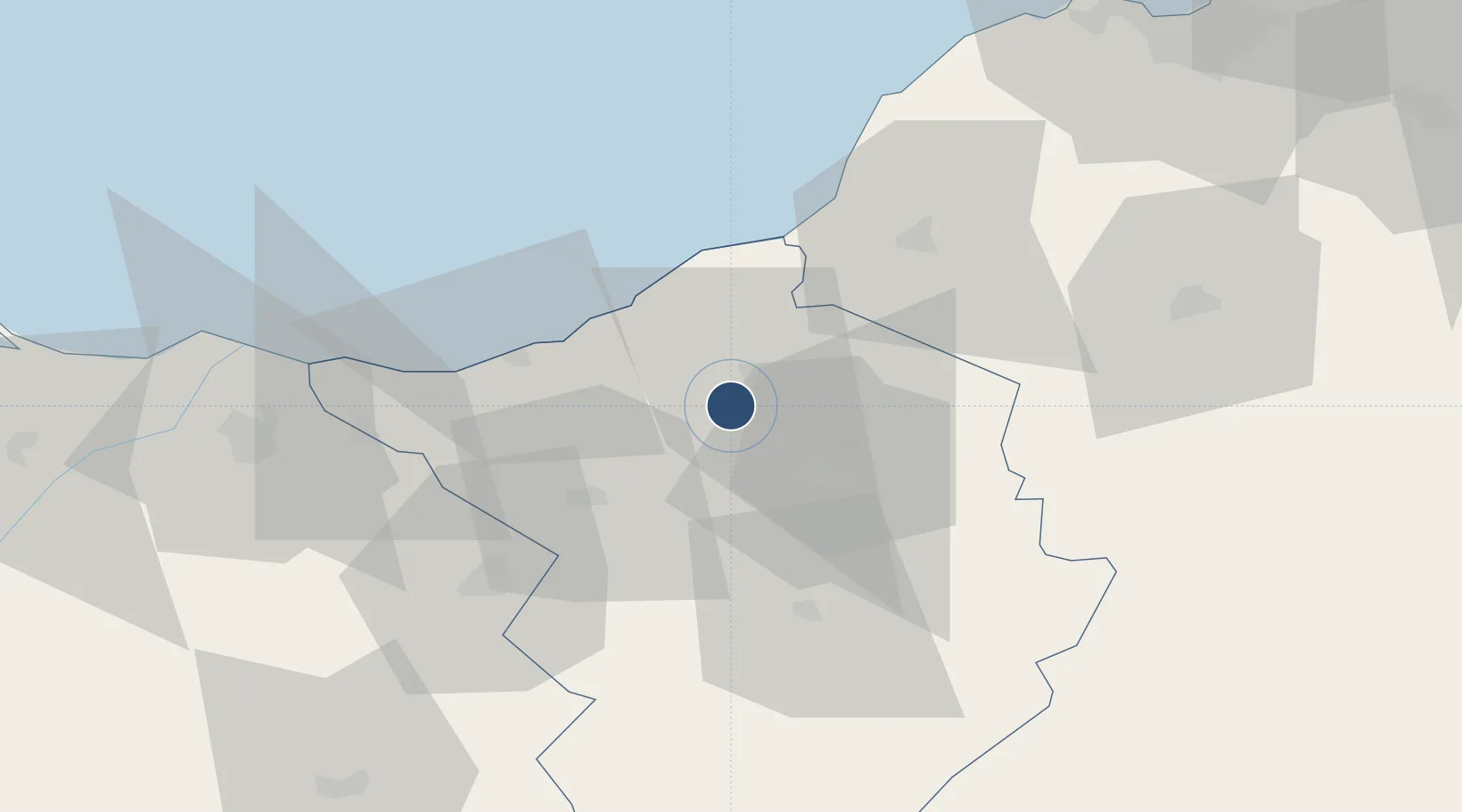
35.0127°, -1.4571°
8,530 ft
Longest runway
1
Runways
814 ft
Elevation

Runway & Layout

Zenata – Messali El Hadj Airport runway & taxiway layout
Runway & taxiway layout — OpenStreetMap (ODbL) / OurAirports

Radio Frequencies

TWR
119.7 MHz
TLEMCEN TWR
OurAirports

Navaids

TLM VOR-DME Tlemcen 116.50 MHz
TLM NDB Tlemcen 346 kHz
OurAirports

Runways · 1

RunwayDimensions SurfaceTrue headingLit
07/25 8,530 × 148ft Asphalt 070°
OurAirports

Airport Specifications

IATA code
TLM
OurAirports
ICAO code
DAON
OurAirports
Airport class
Large airport
OurAirports
Scheduled service
Yes
OurAirports
Runway surface
Asphalt
OurAirports
Served city
Zenata
OurAirports

Location

Location of DAON
Natural Earth 10m (public domain) · Tlemcen · DAON · 35.01, -1.46GoogleOSMYandex

Nearby Logistics Neighbours

Airports
  1. 1Oujda Angads Airport49 km
  2. 2Oran Es-Sénia (Ahmed Ben Bella) International Airport102 km
  3. 3Oran Tafraoui Airport103 km
  4. 4Melilla Airport140 km
  5. 5Nador Al Aaroui International Airport143 km
Nearest neighbours — logibook spatial index (haversine) over the source coordinates
Cities
  1. 1Tlemcen22 km
  2. 2Benisaf31 km
  3. 3Sidi Yahia33 km
  4. 4Ghazaouet37 km
  5. 5Saidia71 km
Nearest neighbours — logibook spatial index (haversine) over the source coordinates
Ports
  1. 1Beni Saf33 km
  2. 2Ghazaouet39 km
  3. 3Oran107 km
  4. 4Port Nador138 km
  5. 5Arzew140 km
Nearest neighbours — logibook spatial index (haversine) over the source coordinates
Trade Zones
  1. 1Berkane Agro-Pole80 km
  2. 2Melilla Autonomous Community138 km
  3. 3Nador WestMed Free Zone158 km
  4. 4Ait Kamra Economic Activity Zone230 km
  5. 5Fès Shore Industrial Park340 km
Nearest neighbours — logibook spatial index (haversine) over the source coordinates
DatabookThe Record of Consolidated Knowledge
Algeria beyond logistics?
Browse databook

All Sources

AirportsOurAirports
Public domain
Portsthe NGA World Port Index
Public domain (US gov)
LocationsUN/LOCODE
UN/LOCODE — free
Trade Zonesthe World Bank SEZ database
CC BY 4.0
Trade ZonesOpen Zone Map
CC BY
InfrastructureOpenStreetMap
ODbL 1.0
← Algeria airports