Transport Functions
Port
Rail
Road
Hub Profile
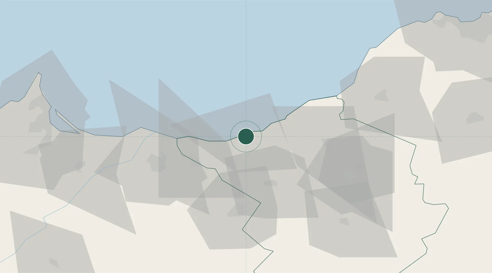
Place type
Populated place
Region
Tlemcen
Population
28,433
Time zone
Africa/Algiers
Elevation
5 m
Location
Nearby Logistics Neighbours
Cities
- 1Saidia35 km
- 2Benisaf47 km
- 3Sidi Yahia48 km
- 4Ras El Ma50 km
- 5Tlemcen56 km
Ports
- 1Beni Saf48 km
- 2Port Nador101 km
- 3Oran129 km
- 4Arzew163 km
- 5Port D Al Hoceima189 km
Airports
Trade Zones
- 1Berkane Agro-Pole47 km
- 2Melilla Autonomous Community101 km
- 3Nador WestMed Free Zone121 km
- 4Ait Kamra Economic Activity Zone194 km
- 5Fès Shore Industrial Park310 km
DatabookThe Record of Consolidated Knowledge
Algeria beyond logistics?