Export Processing Zone · Morocco
Fès Shore Industrial Park Active
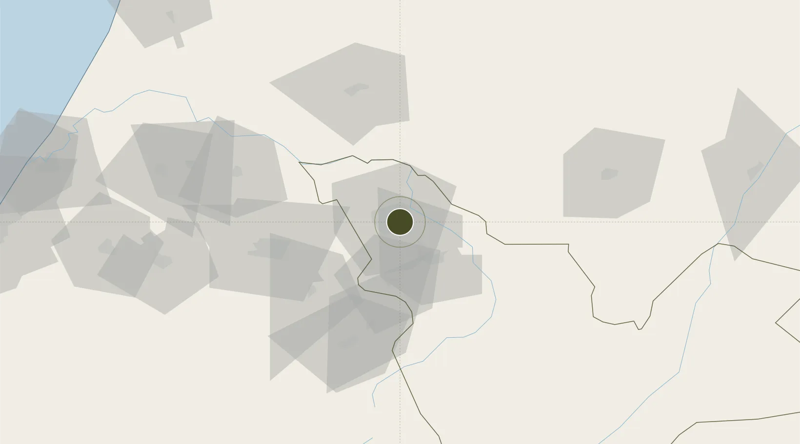
34.0066°, -4.9579°
300 ha
Zone area
154.6 km
Nearest port
9.0 km
Nearest airport
Gateway access
Zone profile
Zone type
Export Processing Zone
Region
Fès - Boulemane
Status
Active
Management
Private
Operator
MEDZ, CDG Group
Legal framework
Dahir No. 1-95-1 dated January 26, 1995
Location
Nearby Logistics Neighbours
Ports
- 1Kenitra155 km
- 2Port D Al Hoceima168 km
- 3Tanger213 km
- 4Ceuta213 km
- 5Tangier-Mediterranean217 km
Airports
- 1Fes Saïss International Airport9 km
- 2Bassatine Airport53 km
- 3Kenitra Air Base154 km
- 4Rabat-Salé Airport165 km
- 5Cherif Al Idrissi Airport166 km
Cities
- 1Sefrou25 km
- 2Taounate67 km
- 3Souq Larb'A Al Gharb118 km
- 4Allal Tazi136 km
- 5Ar Rommani161 km
Trade Zones
- 1Meknès Agropolis51 km
- 2Kénitra Atlantic Free Zone135 km
- 3Zona Franca Kenitra Atlantic135 km
- 4Ait Kamra Economic Activity Zone157 km
- 5Technopolis163 km
DatabookThe Record of Consolidated Knowledge
Morocco beyond logistics?