Seaport · Morocco

Port NadorMANDR

35.2833°, -2.9333°
11.0 m
Channel depth
1
Container terminals
11.2
Port liner connectivity
Port Nador is also a UN/LOCODE logistics hub →

Channel & Berth Profile

SEA LEVEL (CD)CHANNEL BEDCargo pier · 9.4 mChannel · 11.0 mAnchorage · 23.2 m
NGA World Port Index

Pilotage, Tugs & Services

Pilotage compulsoryYES
Pilotage availableYES
Tug assistanceYES
Salvage tugsYES
Potable waterYES
Diesel bunkersYES
MedicalYES
Garbage disposalYES
NGA World Port Index

Facilities & Capabilities

Container
Ro-Ro
Liquid bulk
Dry bulk
Oil terminal
Break bulk
Dry dock
RepairsNO
BunkeringYES
Rail linkYES
Dangerous cargo
ISPS security
NGA World Port Index

Harbour Specifications

Harbour size
Very Small
NGA World Port Index
Harbour type
Coastal (Breakwater)
NGA World Port Index
Shelter
Fair
NGA World Port Index
Water body
Mediterranean Sea; North Atlantic Ocean
NGA World Port Index
Pilotage
Yes
NGA World Port Index

Liner Connectivity

11.2
PLSCI

Port Liner Shipping Connectivity Index for Port Nador, as published by UNCTAD for the latest available quarter. Higher values indicate stronger scheduled liner-shipping integration.

Shown relative to the highest per-port PLSCI in the dataset (1,657.9).

UNCTAD · Port Liner Shipping Connectivity Index

Location

Location of MANDR
Natural Earth 10m (public domain) · Melilla · MANDR · 35.28, -2.93GoogleOSMYandex

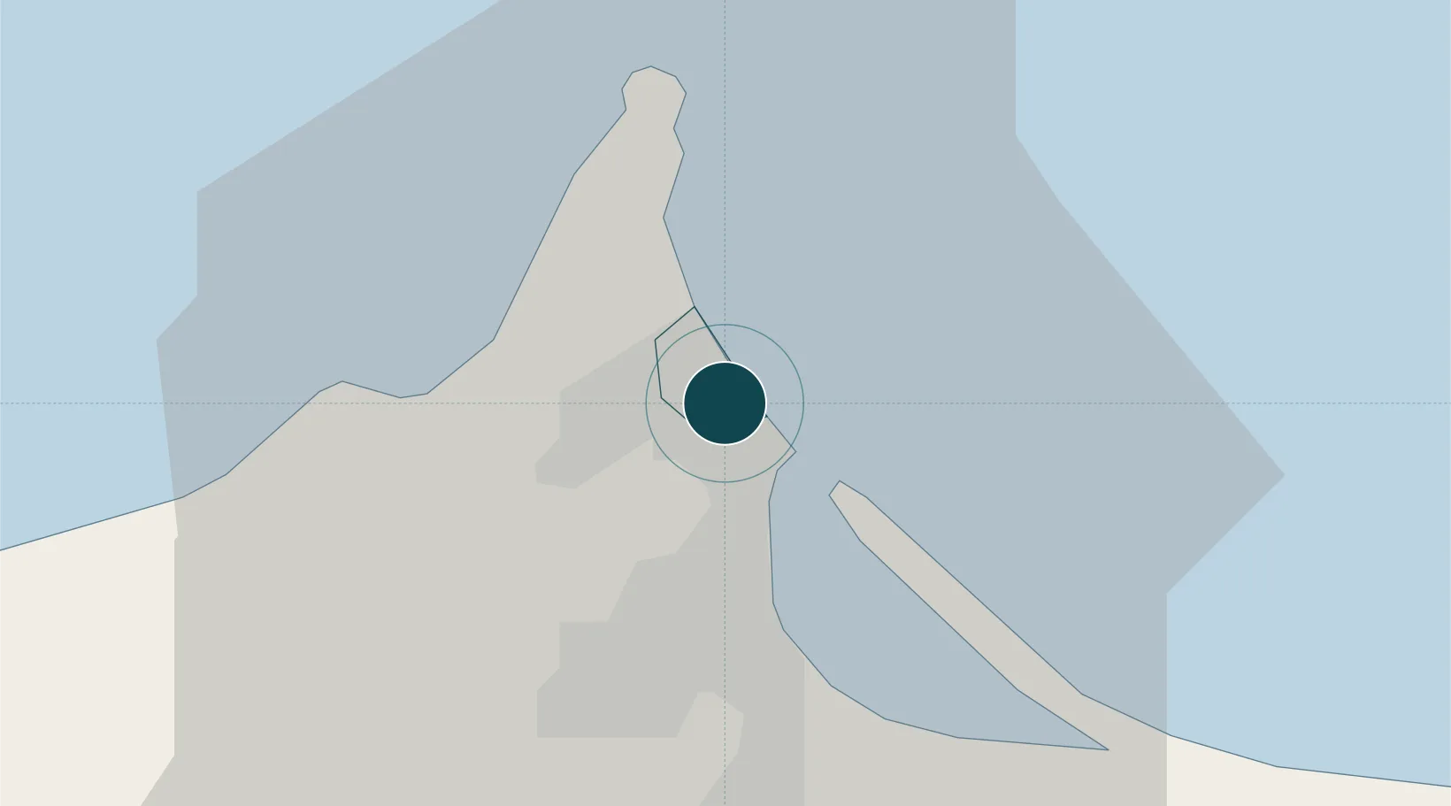
Container Terminals · 1

NADOR PORT
NADP MARSA MAROC
SMDG Terminal Code List

Nearby Logistics Neighbours

Ports
  1. 1Port D Al Hoceima89 km
  2. 2Ghazaouet99 km
  3. 3Beni Saf141 km
  4. 4Adra162 km
  5. 5Motril171 km
Nearest neighbours — logibook spatial index (haversine) over the source coordinates
Cities
  1. 1Melilla1 km
  2. 2Ras El Ma52 km
  3. 3Saidia67 km
  4. 4Al Hoceïma91 km
  5. 5Ghazaouet101 km
Nearest neighbours — logibook spatial index (haversine) over the source coordinates
Airports
  1. 1Melilla Airport2 km
  2. 2Nador Al Aaroui International Airport34 km
  3. 3Cherif Al Idrissi Airport83 km
  4. 4Oujda Angads Airport107 km
  5. 5Zenata – Messali El Hadj Airport138 km
Nearest neighbours — logibook spatial index (haversine) over the source coordinates
Trade Zones
  1. 1Melilla Autonomous Community1 km
  2. 2Nador WestMed Free Zone22 km
  3. 3Berkane Agro-Pole66 km
  4. 4Ait Kamra Economic Activity Zone96 km
  5. 5Tetouan Shore Industrial Park219 km
Nearest neighbours — logibook spatial index (haversine) over the source coordinates
DatabookThe Record of Consolidated Knowledge
Morocco beyond logistics?
Browse databook

All Sources

Portsthe NGA World Port Index
Public domain (US gov)
Logistics performanceUNCTAD
CC BY 3.0 IGO
Portsthe SMDG Terminal Code List
UN/LOCODE — free, attribution
AirportsOurAirports
Public domain
LocationsUN/LOCODE
UN/LOCODE — free
Trade Zonesthe World Bank SEZ database
CC BY 4.0
Trade ZonesOpen Zone Map
CC BY
← Morocco ports