Medium airport · Morocco

Cherif Al Idrissi AirportGMTA
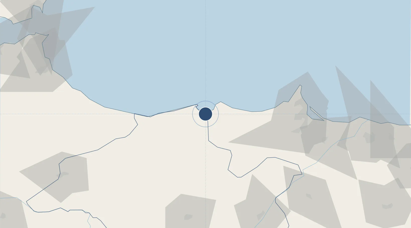
35.1771°, -3.8395°
10,511 ft
Longest runway
1
Runways
95 ft
Elevation

Runway & Layout

Cherif Al Idrissi Airport runway & taxiway layout
Runway & taxiway layout — OpenStreetMap (ODbL) / OurAirports

Radio Frequencies

TWR
118.7 MHz
AL HOCEIMA TWR
OurAirports

Navaids

ALM VOR-DME Al Hoceima 115.00 MHz
ALU NDB Al Hoceima 401 kHz
OurAirports

Runways · 1

RunwayDimensions SurfaceTrue headingLit
17/35 10,511 × 148ft Asphalt 173°
OurAirports

Airport Specifications

IATA code
AHU
OurAirports
ICAO code
GMTA
OurAirports
Airport class
Medium airport
OurAirports
Scheduled service
No
OurAirports
Runway surface
Asphalt
OurAirports
Served city
Al Hoceima
OurAirports

Location

Location of GMTA
Natural Earth 10m (public domain) · Taza - Al Hoceima - Taounate · GMTA · 35.18, -3.84GoogleOSMYandex

Nearby Logistics Neighbours

Airports
  1. 1Nador Al Aaroui International Airport77 km
  2. 2Melilla Airport81 km
  3. 3Sania Ramel Airport142 km
  4. 4Ceuta Heliport155 km
  5. 5Fes Saïss International Airport174 km
Nearest neighbours — logibook spatial index (haversine) over the source coordinates
Cities
  1. 1Al Hoceïma12 km
  2. 2Melilla84 km
  3. 3Nador85 km
  4. 4Taounate102 km
  5. 5Ras El Ma131 km
Nearest neighbours — logibook spatial index (haversine) over the source coordinates
Ports
  1. 1Port D Al Hoceima11 km
  2. 2Port Nador83 km
  3. 3Ceuta156 km
  4. 4Tangier-Mediterranean172 km
  5. 5Motril177 km
Nearest neighbours — logibook spatial index (haversine) over the source coordinates
Trade Zones
  1. 1Ait Kamra Economic Activity Zone13 km
  2. 2Nador WestMed Free Zone61 km
  3. 3Melilla Autonomous Community83 km
  4. 4Berkane Agro-Pole140 km
  5. 5Tetouan Shore Industrial Park143 km
Nearest neighbours — logibook spatial index (haversine) over the source coordinates
DatabookThe Record of Consolidated Knowledge
Morocco beyond logistics?
Browse databook

All Sources

AirportsOurAirports
Public domain
Portsthe NGA World Port Index
Public domain (US gov)
LocationsUN/LOCODE
UN/LOCODE — free
Trade Zonesthe World Bank SEZ database
CC BY 4.0
Trade ZonesOpen Zone Map
CC BY
InfrastructureOpenStreetMap
ODbL 1.0
← Morocco airports