Export Processing Zone · Morocco

Tetouan Shore Industrial Park Active
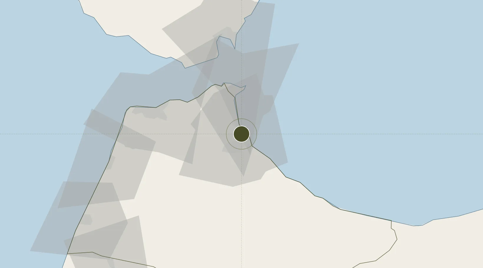
35.6501°, -5.3060°
1,200 ha
Zone area
27.8 km
Nearest port
6.3 km
Nearest airport

Gateway access

Nearest neighbours — logibook spatial index (haversine) over the source coordinates

Zone profile

Zone type
Export Processing Zone
Open Zone Map
Region
Tanger - Tétouan
Open Zone Map
Status
Active
Open Zone Map
Management
Private
Open Zone Map
Operator
Sumitomo Corporation,Tanger Med Special Agency
Open Zone Map
Legal framework
Dahir No. 1-95-1 dated January 26, 1995
Open Zone Map

Location

Location of ozm-2872
Natural Earth 10m (public domain) · Tanger - Tétouan · ozm-2872 · 35.65, -5.31GoogleOSMYandex

Nearby Logistics Neighbours

Ports
  1. 1Ceuta28 km
  2. 2Tangier-Mediterranean34 km
  3. 3Tanger48 km
  4. 4Algeciras55 km
  5. 5Cadiz133 km
Nearest neighbours — logibook spatial index (haversine) over the source coordinates
Airports
  1. 1Sania Ramel Airport6 km
  2. 2Ceuta Heliport27 km
  3. 3Algeciras Heliport55 km
  4. 4Gibraltar Airport56 km
  5. 5Tangier Ibn Battuta Airport56 km
Nearest neighbours — logibook spatial index (haversine) over the source coordinates
Cities
  1. 1Tétouan12 km
  2. 2Ceuta28 km
  3. 3Tanger Med31 km
  4. 4Tangier48 km
  5. 5Waterport54 km
Nearest neighbours — logibook spatial index (haversine) over the source coordinates
Trade Zones
  1. 1Autonomous City of Ceuta27 km
  2. 2Tanger Med Ksar el Majaz Mellousa Freeport31 km
  3. 3Tanger Automotive City34 km
  4. 4Depósito Franco de Algeciras54 km
  5. 5Tanger Free Export Zone55 km
Nearest neighbours — logibook spatial index (haversine) over the source coordinates
DatabookThe Record of Consolidated Knowledge
Morocco beyond logistics?
Browse databook

All Sources

Trade ZonesOpen Zone Map
CC BY
Portsthe NGA World Port Index
Public domain (US gov)
AirportsOurAirports
Public domain
LocationsUN/LOCODE
UN/LOCODE — free
← Morocco trade zones