Transport Functions
Multimodal
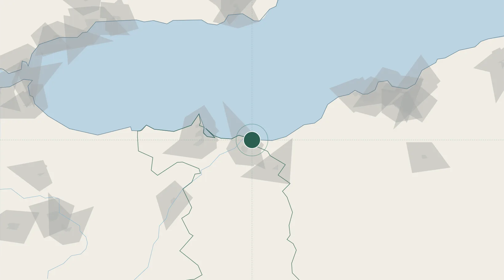
Hub Profile
Place type
Populated place
Region
Oriental
Population
9,587
Time zone
Africa/Casablanca
Elevation
4 m
Location
Nearby Logistics Neighbours
Cities
- 1Ras El Ma16 km
- 2Ghazaouet35 km
- 3Nador66 km
- 4Melilla67 km
- 5Sidi Yahia71 km
Ports
- 1Ghazaouet33 km
- 2Port Nador67 km
- 3Beni Saf81 km
- 4Port D Al Hoceima154 km
- 5Oran160 km
Airports
Trade Zones
- 1Berkane Agro-Pole17 km
- 2Melilla Autonomous Community68 km
- 3Nador WestMed Free Zone87 km
- 4Ait Kamra Economic Activity Zone159 km
- 5Fès Shore Industrial Park277 km
DatabookThe Record of Consolidated Knowledge
Morocco beyond logistics?