UN/LOCODE hub · Spain
ESMLN
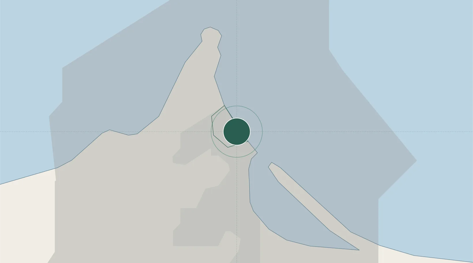
Melilla
35.2913°, -2.9297°
85,985
Population
3
Transport functions
1
Container terminals
Transport Functions
Port
Road
Airport
Hub Profile
Place type
Regional capital
Region
Melilla
Population
85,985
Time zone
Africa/Ceuta
Elevation
14 m
Logistics facilities
2
Container terminals
1
Location
Nearby Logistics Neighbours
Cities
- 1Nador2 km
- 2Ras El Ma52 km
- 3Saidia67 km
- 4Al Hoceïma91 km
- 5Ghazaouet100 km
Ports
- 1Port Nador1 km
- 2Port D Al Hoceima90 km
- 3Ghazaouet99 km
- 4Beni Saf140 km
- 5Adra161 km
Airports
Trade Zones
DatabookThe Record of Consolidated Knowledge
Spain beyond logistics?