Seaport · Algeria

GhazaouetDZGHZ

35.1000°, -1.8667°
11.0 m
Channel depth
9.3
Port liner connectivity
Ghazaouet is also a UN/LOCODE logistics hub →

Channel & Berth Profile

SEA LEVEL (CD)CHANNEL BEDCargo pier · 9.4 mChannel · 11.0 mAnchorage · 18.6 m
NGA World Port Index

Pilotage, Tugs & Services

Pilotage compulsoryYES
Pilotage availableYES
Pilotage advisableYES
Tug assistanceYES
Salvage tugsYES
Shore powerYES
Potable waterYES
Diesel bunkersYES
MedicalYES
Garbage disposalYES
NGA World Port Index

Facilities & Capabilities

Container
Ro-Ro
Liquid bulk
Dry bulk
Oil terminal
Break bulk
Dry dock
RepairsNO
BunkeringYES
Rail link
Dangerous cargo
ISPS security
NGA World Port Index

Harbour Specifications

Harbour size
Very Small
NGA World Port Index
Harbour type
Coastal (Breakwater)
NGA World Port Index
Shelter
Fair
NGA World Port Index
Water body
Mediterranean Sea; North Atlantic Ocean
NGA World Port Index
Overhead limit
No
NGA World Port Index
Pilotage
Yes
NGA World Port Index

Liner Connectivity

9.3
PLSCI

Port Liner Shipping Connectivity Index for Ghazaouet, as published by UNCTAD for the latest available quarter. Higher values indicate stronger scheduled liner-shipping integration.

Shown relative to the highest per-port PLSCI in the dataset (1,657.9).
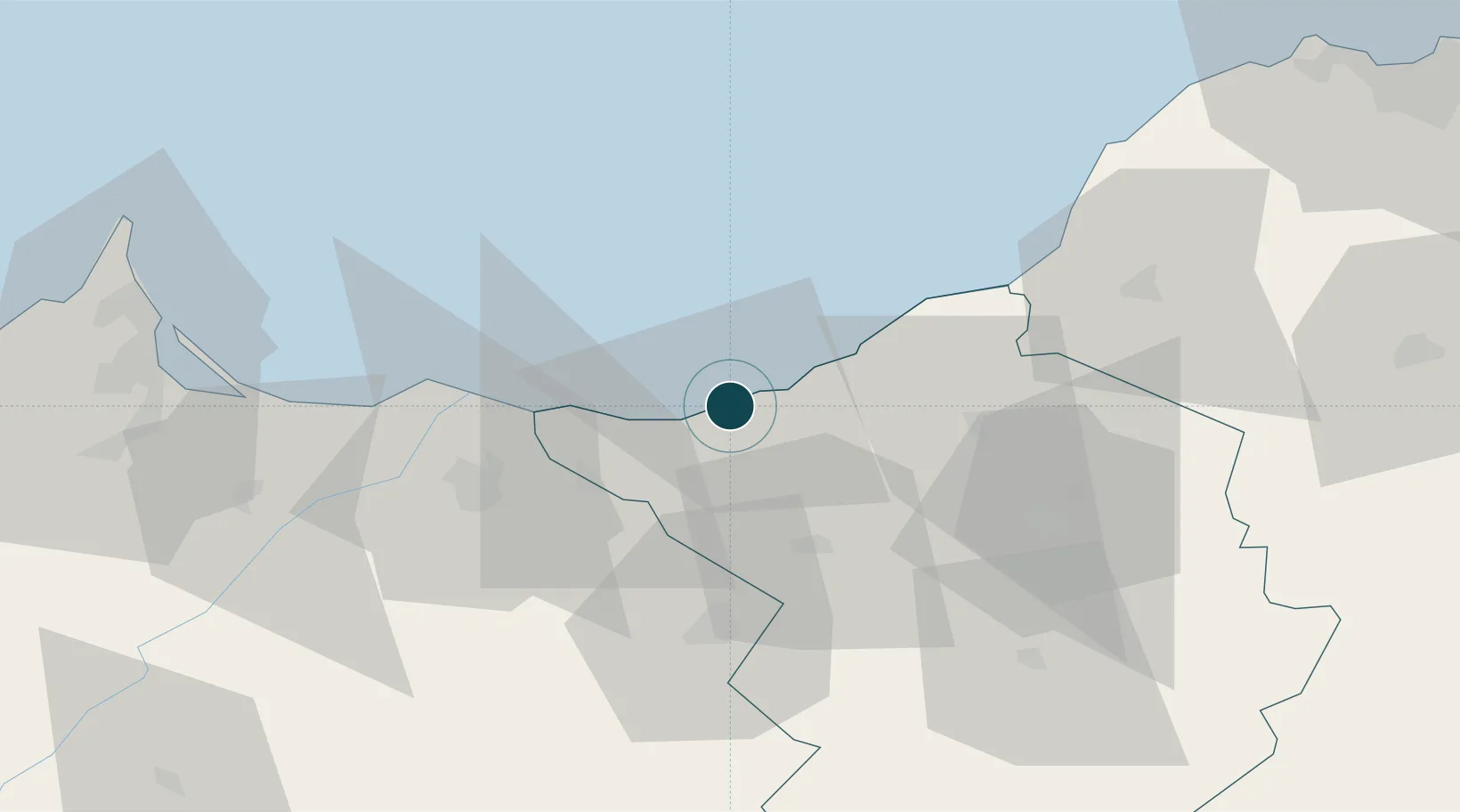
UNCTAD · Port Liner Shipping Connectivity Index

Location

Location of DZGHZ
Natural Earth 10m (public domain) · Tlemcen · DZGHZ · 35.10, -1.87GoogleOSMYandex

Nearby Logistics Neighbours

Ports
  1. 1Beni Saf49 km
  2. 2Port Nador99 km
  3. 3Oran130 km
  4. 4Arzew165 km
  5. 5Port D Al Hoceima187 km
Nearest neighbours — logibook spatial index (haversine) over the source coordinates
Cities
  1. 1Saidia33 km
  2. 2Sidi Yahia48 km
  3. 3Benisaf48 km
  4. 4Ras El Ma49 km
  5. 5Tlemcen58 km
Nearest neighbours — logibook spatial index (haversine) over the source coordinates
Airports
  1. 1Oujda Angads Airport35 km
  2. 2Zenata – Messali El Hadj Airport39 km
  3. 3Melilla Airport101 km
  4. 4Nador Al Aaroui International Airport107 km
  5. 5Oran Es-Sénia (Ahmed Ben Bella) International Airport127 km
Nearest neighbours — logibook spatial index (haversine) over the source coordinates
Trade Zones
  1. 1Berkane Agro-Pole45 km
  2. 2Melilla Autonomous Community100 km
  3. 3Nador WestMed Free Zone119 km
  4. 4Ait Kamra Economic Activity Zone192 km
  5. 5Fès Shore Industrial Park308 km
Nearest neighbours — logibook spatial index (haversine) over the source coordinates
DatabookThe Record of Consolidated Knowledge
Algeria beyond logistics?
Browse databook

All Sources

Portsthe NGA World Port Index
Public domain (US gov)
Logistics performanceUNCTAD
CC BY 3.0 IGO
AirportsOurAirports
Public domain
LocationsUN/LOCODE
UN/LOCODE — free
Trade Zonesthe World Bank SEZ database
CC BY 4.0
Trade ZonesOpen Zone Map
CC BY
← Algeria ports