UN/LOCODE hub · Morocco
MANDR
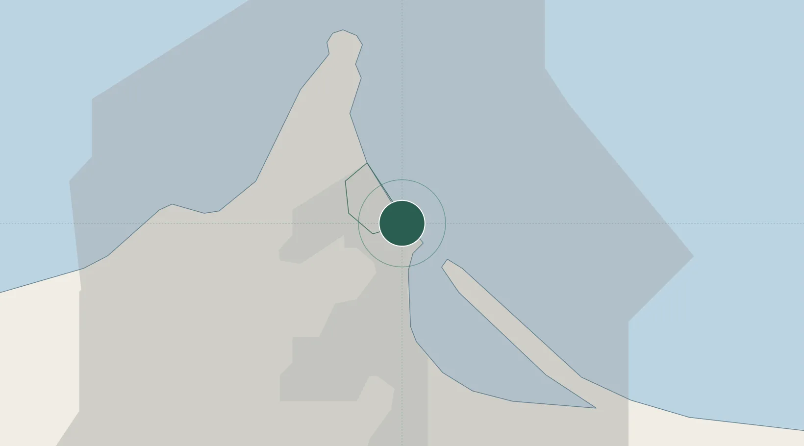
Nador
35.2772°, -2.9175°
176,600
Population
1
Transport functions
1
Container terminals
Transport Functions
Port
Hub Profile
Place type
District seat
Region
Oriental
Population
176,600
Time zone
Africa/Casablanca
Elevation
19 m
Logistics facilities
1
Container terminals
1
Location
Nearby Logistics Neighbours
Cities
- 1Melilla2 km
- 2Ras El Ma50 km
- 3Saidia66 km
- 4Al Hoceïma92 km
- 5Ghazaouet99 km
Ports
- 1Port D Al Hoceima91 km
- 2Ghazaouet98 km
- 3Beni Saf139 km
- 4Adra162 km
- 5Motril172 km
Airports
Trade Zones
DatabookThe Record of Consolidated Knowledge
Morocco beyond logistics?