Transport Functions
Port
Multimodal
Hub Profile
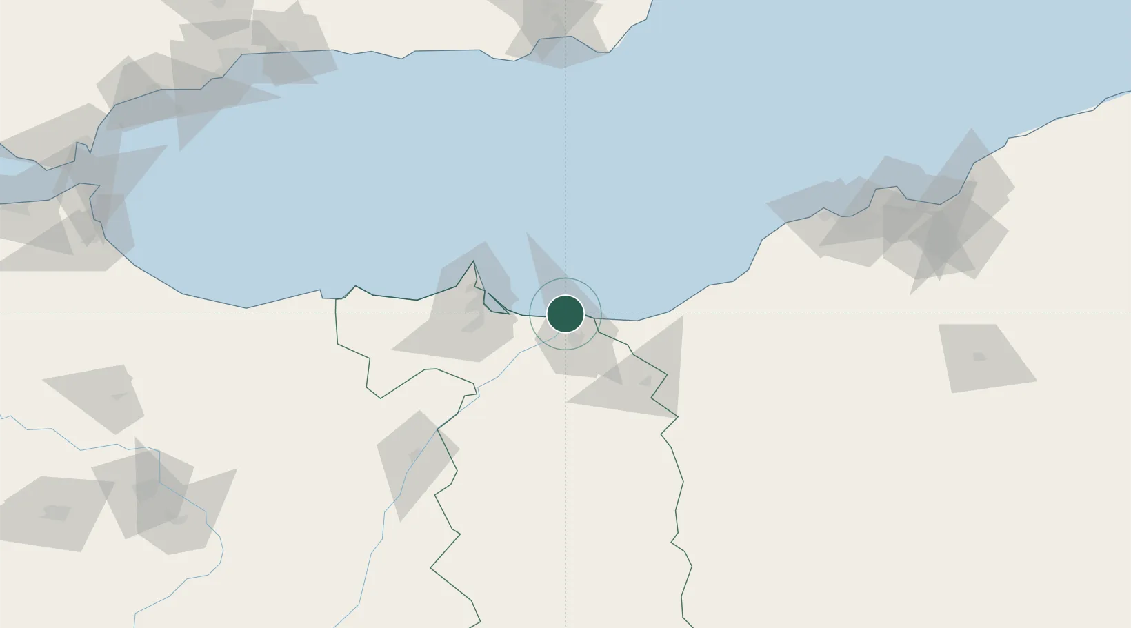
Place type
Populated place
Region
Fès-Meknès
Population
22,345
Time zone
Africa/Casablanca
Elevation
476 m
Location
Nearby Logistics Neighbours
Cities
- 1Saidia16 km
- 2Ghazaouet50 km
- 3Nador50 km
- 4Melilla52 km
- 5Sidi Yahia86 km
Ports
- 1Ghazaouet49 km
- 2Port Nador52 km
- 3Beni Saf95 km
- 4Port D Al Hoceima139 km
- 5Oran173 km
Airports
Trade Zones
- 1Berkane Agro-Pole19 km
- 2Melilla Autonomous Community53 km
- 3Nador WestMed Free Zone71 km
- 4Ait Kamra Economic Activity Zone144 km
- 5Fès Shore Industrial Park265 km
DatabookThe Record of Consolidated Knowledge
Morocco beyond logistics?