Channel & Berth Profile
Pilotage, Tugs & Services
Pilotage compulsoryYES
Shore powerYES
Potable waterYES
MedicalYES
Garbage disposalNO
Facilities & Capabilities
Container—
Ro-Ro—
Liquid bulk—
Dry bulk—
Oil terminal—
Break bulk—
Dry dock—
RepairsNO
Bunkering—
Rail link—
Dangerous cargo—
ISPS security—
Harbour Specifications
Harbour size
Very Small
Harbour type
Coastal (Breakwater)
Shelter
Poor
Water body
Mediterranean Sea; North Atlantic Ocean
Tidal range
1 m
Pilotage
Yes
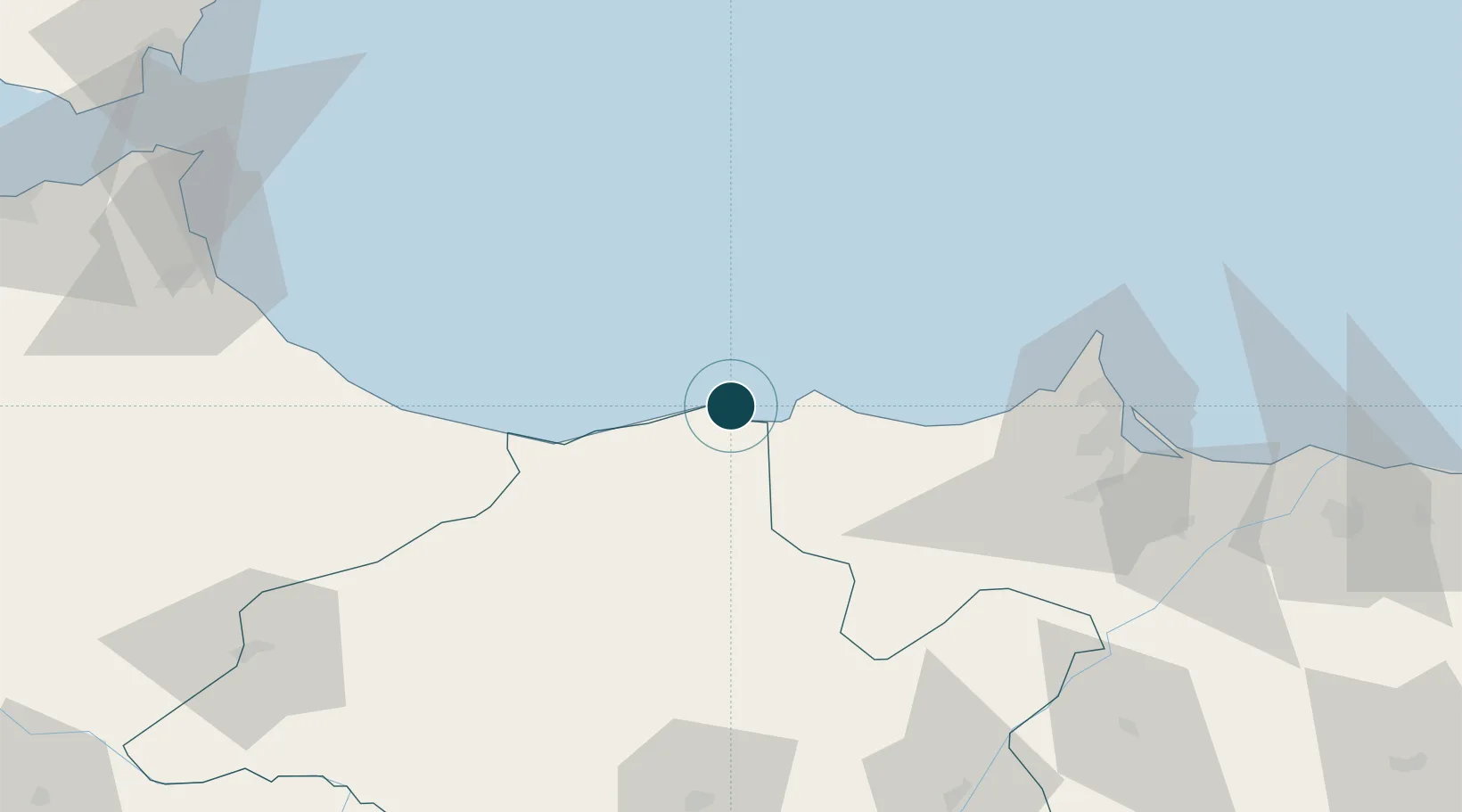
Location
Nearby Logistics Neighbours
Ports
- 1Port Nador89 km
- 2Ceuta146 km
- 3Tangier-Mediterranean162 km
- 4Algeciras169 km
- 5Malaga169 km
Airports
- 1Cherif Al Idrissi Airport11 km
- 2Nador Al Aaroui International Airport86 km
- 3Melilla Airport87 km
- 4Sania Ramel Airport133 km
- 5Ceuta Heliport145 km
Trade Zones
DatabookThe Record of Consolidated Knowledge
Morocco beyond logistics?