Large airport · Morocco

Nador Al Aaroui International AirportGMMW
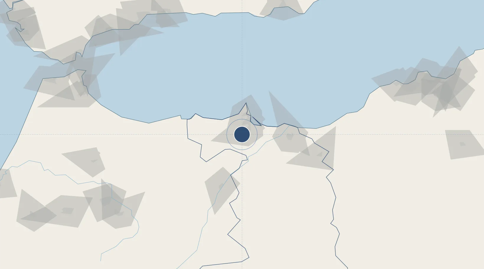
34.9888°, -3.0282°
9,842 ft
Longest runway
1
Runways
574 ft
Elevation

Runway & Layout

Nador Al Aaroui International Airport runway & taxiway layout
Runway & taxiway layout — OpenStreetMap (ODbL) / OurAirports

Radio Frequencies

TWR
118.65 MHz
TWR GRND
126.55 MHz
Nador traffic
OurAirports

Navaids

ARI VOR-DME Nador Arwi 116.00 MHz
ARW NDB El Aroui 355 kHz
OurAirports

Runways · 1

RunwayDimensions SurfaceTrue headingLit
08/26 9,842 × 148ft Asphalt 078°
OurAirports

Airport Specifications

IATA code
NDR
OurAirports
ICAO code
GMMW
OurAirports
Airport class
Large airport
OurAirports
Scheduled service
Yes
OurAirports
Runway surface
Asphalt
OurAirports
Served city
Al Aaroui
OurAirports

Location

Location of GMMW
Natural Earth 10m (public domain) · Oriental · GMMW · 34.99, -3.03GoogleOSMYandex

Nearby Logistics Neighbours

Airports
  1. 1Melilla Airport33 km
  2. 2Cherif Al Idrissi Airport77 km
  3. 3Oujda Angads Airport103 km
  4. 4Zenata – Messali El Hadj Airport143 km
  5. 5Fes Saïss International Airport214 km
Nearest neighbours — logibook spatial index (haversine) over the source coordinates
Cities
  1. 1Nador34 km
  2. 2Melilla35 km
  3. 3Ras El Ma59 km
  4. 4Saidia73 km
  5. 5Al Hoceïma87 km
Nearest neighbours — logibook spatial index (haversine) over the source coordinates
Ports
  1. 1Port Nador34 km
  2. 2Port D Al Hoceima86 km
  3. 3Ghazaouet107 km
  4. 4Beni Saf154 km
  5. 5Adra194 km
Nearest neighbours — logibook spatial index (haversine) over the source coordinates
Trade Zones
  1. 1Nador WestMed Free Zone31 km
  2. 2Melilla Autonomous Community35 km
  3. 3Berkane Agro-Pole64 km
  4. 4Ait Kamra Economic Activity Zone89 km
  5. 5Fès Shore Industrial Park208 km
Nearest neighbours — logibook spatial index (haversine) over the source coordinates
DatabookThe Record of Consolidated Knowledge
Morocco beyond logistics?
Browse databook

All Sources

AirportsOurAirports
Public domain
Portsthe NGA World Port Index
Public domain (US gov)
LocationsUN/LOCODE
UN/LOCODE — free
Trade Zonesthe World Bank SEZ database
CC BY 4.0
Trade ZonesOpen Zone Map
CC BY
InfrastructureOpenStreetMap
ODbL 1.0
← Morocco airports