Free Trade Zone · Morocco
Ait Kamra Economic Activity Zone Active
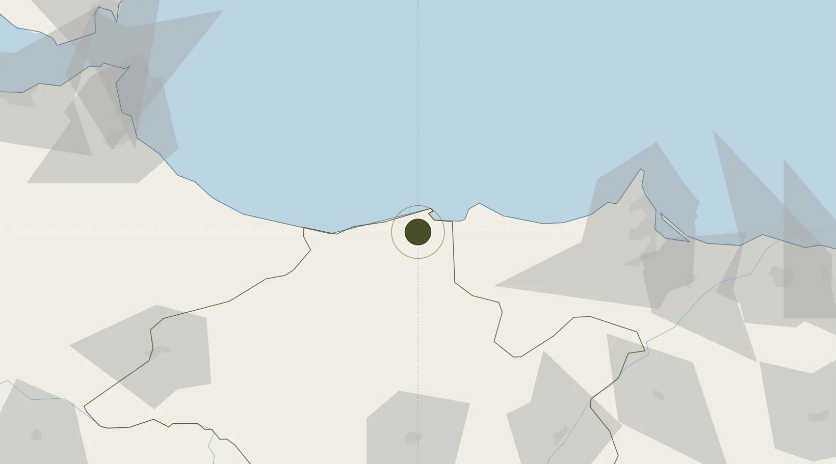
35.1599°, -3.9776°
27 ha
Zone area
11.4 km
Nearest port
12.7 km
Nearest airport
Gateway access
Zone profile
Zone type
Free Trade Zone
Region
Taza - Al Hoceima - Taounate
Status
Active
Management
Private
Operator
MEDZ
Legal framework
Dahir No. 1-95-1 dated January 26, 1995
Location
Nearby Logistics Neighbours
Ports
- 1Port D Al Hoceima11 km
- 2Port Nador96 km
- 3Ceuta147 km
- 4Tangier-Mediterranean162 km
- 5Algeciras170 km
Airports
- 1Cherif Al Idrissi Airport13 km
- 2Nador Al Aaroui International Airport89 km
- 3Melilla Airport94 km
- 4Sania Ramel Airport131 km
- 5Ceuta Heliport145 km
Cities
- 1Al Hoceïma11 km
- 2Taounate92 km
- 3Melilla96 km
- 4Nador97 km
- 5Tétouan135 km
Trade Zones
- 1Nador WestMed Free Zone74 km
- 2Melilla Autonomous Community96 km
- 3Tetouan Shore Industrial Park132 km
- 4Autonomous City of Ceuta146 km
- 5Berkane Agro-Pole152 km
DatabookThe Record of Consolidated Knowledge
Morocco beyond logistics?