Seaport · Algeria
OranDZORN
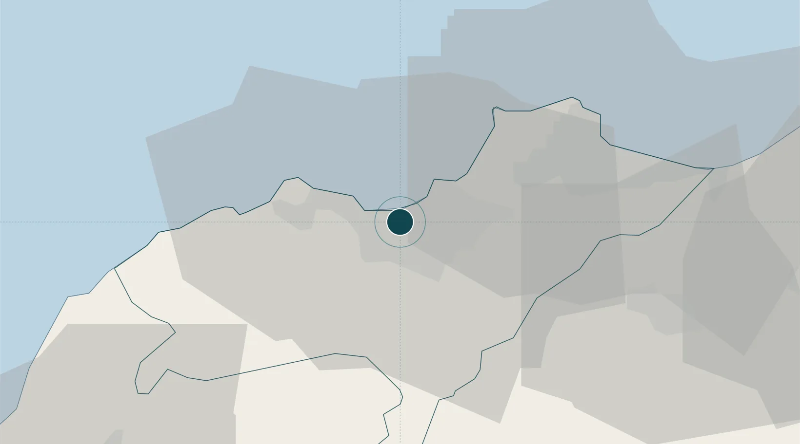
35.7000°, -0.6333°
23.2 m
Channel depth
1
Container terminals
52.9
Port liner connectivity
Channel & Berth Profile
Pilotage, Tugs & Services
Pilotage compulsoryYES
Pilotage availableYES
Pilotage advisableYES
Tug assistanceYES
Shore powerYES
Potable waterYES
Diesel bunkersYES
MedicalYES
Facilities & Capabilities
Container—
Ro-Ro—
Liquid bulk—
Dry bulk—
Oil terminal—
Break bulk—
Dry dock—
RepairsNO
BunkeringYES
Rail linkYES
Dangerous cargo—
ISPS security—
Harbour Specifications
Harbour size
Large
Harbour type
Coastal (Breakwater)
Shelter
Excellent
Water body
Mediterranean Sea; North Atlantic Ocean
Tidal range
1 m
Pilotage
Yes
Liner Connectivity
52.9
PLSCI
Port Liner Shipping Connectivity Index for Oran, as published by UNCTAD for the latest available quarter. Higher values indicate stronger scheduled liner-shipping integration.
Shown relative to the highest per-port PLSCI in the dataset (1,657.9).
Location
Container Terminals · 1
ENTREPRISE PORTUAIRE D'ORAN (EPO)
EPO
Nearby Logistics Neighbours
Ports
- 1Arzew34 km
- 2Mostaganem70 km
- 3Beni Saf81 km
- 4Ghazaouet130 km
- 5Puerto De Carboneras183 km
Cities
- 1Oran Dry Port2 km
- 2Es Senia6 km
- 3Arzew34 km
- 4Bethioua35 km
- 5Sidi Bel Abbes58 km
Airports
Trade Zones
- 1Berkane Agro-Pole175 km
- 2Melilla Autonomous Community214 km
- 3Nador WestMed Free Zone235 km
- 4Depósito Franco de Alicante293 km
- 5Ait Kamra Economic Activity Zone309 km
DatabookThe Record of Consolidated Knowledge
Algeria beyond logistics?