Medium airport · Canada

Gimli Industrial Park AirportCYGM
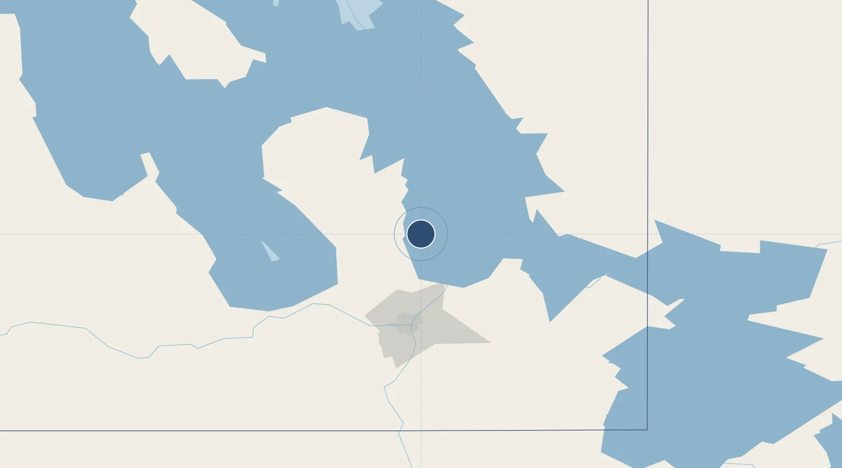
50.6281°, -97.0433°
6,800 ft
Longest runway
1
Runways
753 ft
Elevation

Runway & Layout

Gimli Industrial Park Airport runway & taxiway layout
Runway & taxiway layout — OpenStreetMap (ODbL) / OurAirports

Radio Frequencies

A/G
122.15 MHz
MF
UNIC
122.15 MHz
UNICOM
OurAirports

Navaids

M4 NDB Gimli Indus Park 296 kHz
OurAirports

Runways · 1

RunwayDimensions SurfaceTrue headingLit
15/33 6,800 × 150ft Asphalt 150°
OurAirports

Airport Specifications

IATA code
YGM
OurAirports
ICAO code
CYGM
OurAirports
Airport class
Medium airport
OurAirports
Scheduled service
No
OurAirports
Runway surface
Asphalt
OurAirports
Served city
Gimli
OurAirports

Location

Location of CYGM
Natural Earth 10m (public domain) · Manitoba · CYGM · 50.63, -97.04GoogleOSMYandex

Nearby Logistics Neighbours

Airports
  1. 1Winnipeg / St. Andrews Airport64 km
  2. 2Winnipeg / James Armstrong Richardson International Airport81 km
  3. 3Lac du Bonnet Airport82 km
  4. 4Portage-la-Prairie / Southport Airport119 km
  5. 5Bloodvein River Airport131 km
Nearest neighbours — logibook spatial index (haversine) over the source coordinates
Cities
  1. 1Arborg31 km
  2. 2Teulon32 km
  3. 3Petersfield37 km
  4. 4Gunton38 km
  5. 5Riverton40 km
Nearest neighbours — logibook spatial index (haversine) over the source coordinates
Ports
  1. 1Duluth562 km
  2. 2Two Harbors563 km
  3. 3Superior566 km
  4. 4Grand Marais583 km
  5. 5Thunder Bay616 km
Nearest neighbours — logibook spatial index (haversine) over the source coordinates
Trade Zones
  1. 1Winnipegs Centreport Canada82 km
  2. 2FTZ No. 103 Grand Forks302 km
  3. 3FTZ No. 259 Koochiching County327 km
  4. 4FTZ No. 267 Fargo420 km
  5. 5Global Transportation Hub Authority545 km
Nearest neighbours — logibook spatial index (haversine) over the source coordinates
DatabookThe Record of Consolidated Knowledge
Canada beyond logistics?
Browse databook

All Sources

AirportsOurAirports
Public domain
Portsthe NGA World Port Index
Public domain (US gov)
LocationsUN/LOCODE
UN/LOCODE — free
Trade Zonesthe World Bank SEZ database
CC BY 4.0
Trade ZonesOpen Zone Map
CC BY
InfrastructureOpenStreetMap
ODbL 1.0
← Canada airports