Transport Functions
Rail
Road
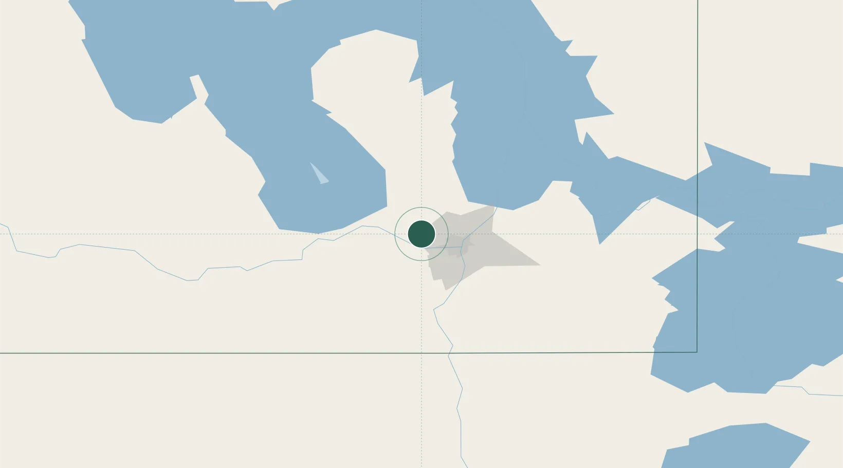
Hub Profile
Place type
Locality
Region
Manitoba
Time zone
America/Winnipeg
Elevation
243 m
Location
Nearby Logistics Neighbours
Cities
- 1Stonewall19 km
- 2Winnipeg23 km
- 3Saint-Eustache23 km
- 4East Saint-Paul26 km
- 5La Salle34 km
Ports
- 1Duluth533 km
- 2Superior537 km
- 3Two Harbors540 km
- 4Grand Marais576 km
- 5Bayfield604 km
Airports
Trade Zones
- 1Winnipegs Centreport Canada24 km
- 2FTZ No. 103 Grand Forks231 km
- 3FTZ No. 259 Koochiching County297 km
- 4FTZ No. 267 Fargo350 km
- 5Global Transportation Hub Authority522 km
DatabookThe Record of Consolidated Knowledge
Canada beyond logistics?