UN/LOCODE hub · Canada
CAEPL

East Saint-Paul

49.9333°, -97.1000°
2
Transport functions

Transport Functions

Road
Multimodal
UN/LOCODE

Hub Profile

Region
MB
GeoNames

Location

Location of CAEPL
Natural Earth 10m (public domain) · MB · CAEPL · 49.93, -97.10GoogleOSMYandex

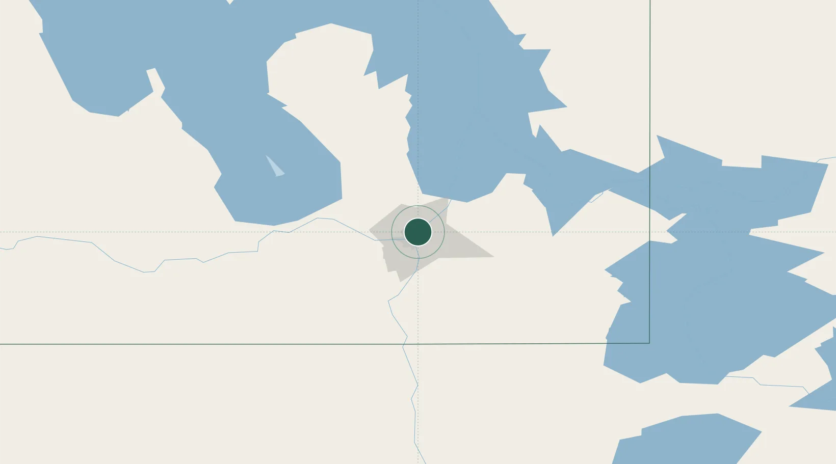
Nearby Logistics Neighbours

Cities
  1. 1Winnipeg5 km
  2. 2Lockport20 km
  3. 3Rosser26 km
  4. 4Stonewall28 km
  5. 5La Salle29 km
Nearest neighbours — logibook spatial index (haversine) over the source coordinates
Ports
  1. 1Duluth510 km
  2. 2Superior515 km
  3. 3Two Harbors516 km
  4. 4Grand Marais551 km
  5. 5Bayfield580 km
Nearest neighbours — logibook spatial index (haversine) over the source coordinates
Airports
  1. 1Winnipeg / James Armstrong Richardson International Airport10 km
  2. 2Winnipeg / St. Andrews Airport15 km
  3. 3Gimli Industrial Park Airport77 km
  4. 4Portage-la-Prairie / Southport Airport84 km
  5. 5Lac du Bonnet Airport88 km
Nearest neighbours — logibook spatial index (haversine) over the source coordinates
Trade Zones
  1. 1Winnipegs Centreport Canada5 km
  2. 2FTZ No. 103 Grand Forks225 km
  3. 3FTZ No. 259 Koochiching County274 km
  4. 4FTZ No. 267 Fargo343 km
  5. 5FTZ No. 051 Duluth502 km
Nearest neighbours — logibook spatial index (haversine) over the source coordinates
DatabookThe Record of Consolidated Knowledge
Canada beyond logistics?
Browse databook

All Sources

LocationsUN/LOCODE
UN/LOCODE — free
Portsthe NGA World Port Index
Public domain (US gov)
AirportsOurAirports
Public domain
Trade Zonesthe World Bank SEZ database
CC BY 4.0
Trade ZonesOpen Zone Map
CC BY
← Canada locations