Medium airport · Canada

Lac du Bonnet AirportCYAX
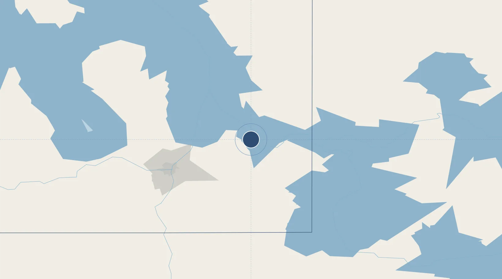
50.2944°, -96.0100°
3,600 ft
Longest runway
1
Runways
850 ft
Elevation

Runway & Layout

Lac du Bonnet Airport runway & taxiway layout
Runway & taxiway layout — OpenStreetMap (ODbL) / OurAirports

Radio Frequencies

UNIC
122.8 MHz
ATF/UNICOM
OurAirports

Navaids

4X NDB Lac Du Bonnet 386 kHz
OurAirports

Runways · 1

RunwayDimensions SurfaceTrue headingLit
18/36 3,600 × 75ft Asphalt 185°
OurAirports

Airport Specifications

ICAO code
CYAX
OurAirports
Airport class
Medium airport
OurAirports
Scheduled service
Yes
OurAirports
Runway surface
Asphalt
OurAirports
Served city
Lac du Bonnet
OurAirports

Location

Location of CYAX
Natural Earth 10m (public domain) · Manitoba · CYAX · 50.29, -96.01GoogleOSMYandex

Nearby Logistics Neighbours

Airports
  1. 1Winnipeg / St. Andrews Airport78 km
  2. 2Gimli Industrial Park Airport82 km
  3. 3Winnipeg / James Armstrong Richardson International Airport98 km
  4. 4Kenora Airport130 km
  5. 5Portage-la-Prairie / Southport Airport167 km
Nearest neighbours — logibook spatial index (haversine) over the source coordinates
Cities
  1. 1Pine Falls32 km
  2. 2Beauséjour45 km
  3. 3Libau50 km
  4. 4Springfield64 km
  5. 5Anola66 km
Nearest neighbours — logibook spatial index (haversine) over the source coordinates
Ports
  1. 1Two Harbors485 km
  2. 2Duluth486 km
  3. 3Superior491 km
  4. 4Grand Marais501 km
  5. 5Thunder Bay534 km
Nearest neighbours — logibook spatial index (haversine) over the source coordinates
Trade Zones
  1. 1Winnipegs Centreport Canada92 km
  2. 2FTZ No. 259 Koochiching County256 km
  3. 3FTZ No. 103 Grand Forks278 km
  4. 4FTZ No. 267 Fargo389 km
  5. 5FTZ No. 051 Duluth480 km
Nearest neighbours — logibook spatial index (haversine) over the source coordinates
DatabookThe Record of Consolidated Knowledge
Canada beyond logistics?
Browse databook

All Sources

AirportsOurAirports
Public domain
Portsthe NGA World Port Index
Public domain (US gov)
LocationsUN/LOCODE
UN/LOCODE — free
Trade Zonesthe World Bank SEZ database
CC BY 4.0
Trade ZonesOpen Zone Map
CC BY
InfrastructureOpenStreetMap
ODbL 1.0
← Canada airports