Transport Functions
Port
Road
Hub Profile
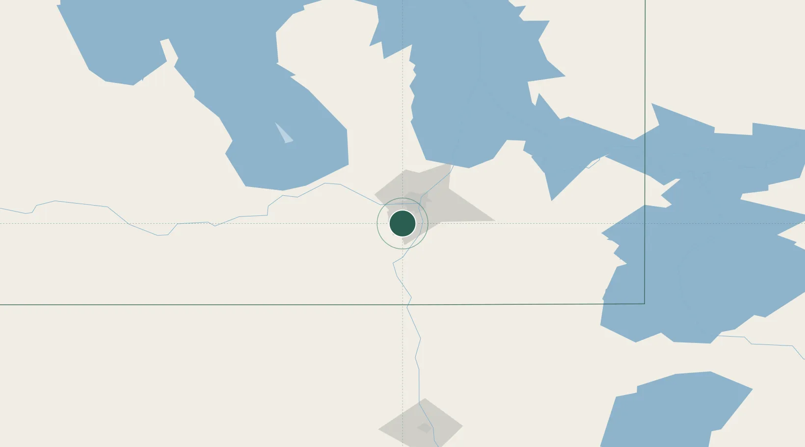
Place type
Populated place
Region
Manitoba
Time zone
America/Winnipeg
Elevation
234 m
Location
Nearby Logistics Neighbours
Cities
- 1Sanford13 km
- 2Niverville20 km
- 3Winnipeg24 km
- 4Otterburne27 km
- 5East Saint-Paul29 km
Ports
- 1Duluth503 km
- 2Superior507 km
- 3Two Harbors511 km
- 4Grand Marais553 km
- 5Bayfield576 km
Airports
Trade Zones
- 1Winnipegs Centreport Canada24 km
- 2FTZ No. 103 Grand Forks199 km
- 3FTZ No. 259 Koochiching County267 km
- 4FTZ No. 267 Fargo317 km
- 5FTZ No. 051 Duluth494 km
DatabookThe Record of Consolidated Knowledge
Canada beyond logistics?