Transport Functions
Port
Airport
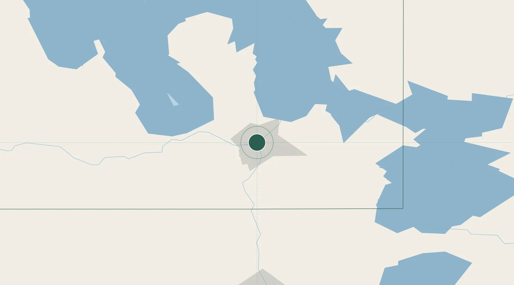
Hub Profile
Place type
Regional capital
Region
Manitoba
Population
749,607
Time zone
America/Winnipeg
Elevation
245 m
Logistics facilities
23
Location
Nearby Logistics Neighbours
Cities
- 1East Saint-Paul5 km
- 2Rosser23 km
- 3La Salle24 km
- 4Lockport25 km
- 5Stonewall29 km
Ports
- 1Duluth511 km
- 2Superior515 km
- 3Two Harbors517 km
- 4Grand Marais553 km
- 5Bayfield581 km
Airports
Trade Zones
- 1Winnipegs Centreport Canada1 km
- 2FTZ No. 103 Grand Forks221 km
- 3FTZ No. 259 Koochiching County274 km
- 4FTZ No. 267 Fargo339 km
- 5FTZ No. 051 Duluth503 km
DatabookThe Record of Consolidated Knowledge
Canada beyond logistics?