Transport Functions
Rail
Road
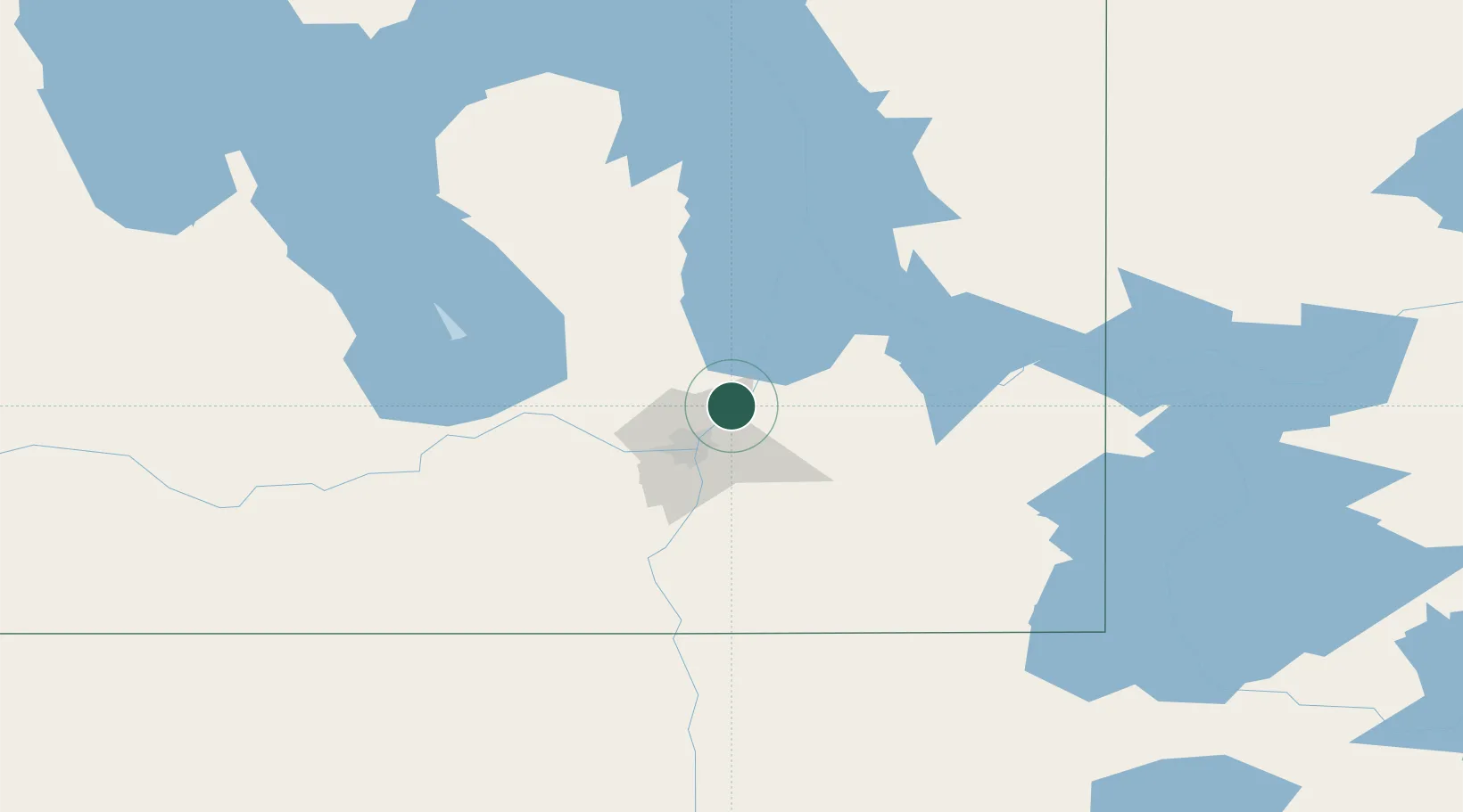
Hub Profile
Place type
Populated place
Region
Manitoba
Time zone
America/Winnipeg
Elevation
231 m
Location
Nearby Logistics Neighbours
Cities
- 1East Saint-Paul20 km
- 2Petersfield24 km
- 3Winnipeg25 km
- 4Libau26 km
- 5Springfield27 km
Ports
- 1Duluth514 km
- 2Two Harbors518 km
- 3Superior518 km
- 4Grand Marais548 km
- 5Bayfield581 km
Airports
Trade Zones
- 1Winnipegs Centreport Canada25 km
- 2FTZ No. 103 Grand Forks242 km
- 3FTZ No. 259 Koochiching County277 km
- 4FTZ No. 267 Fargo359 km
- 5FTZ No. 051 Duluth506 km
DatabookThe Record of Consolidated Knowledge
Canada beyond logistics?