Large airport · Canada
Winnipeg / James Armstrong Richardson International AirportCYWG
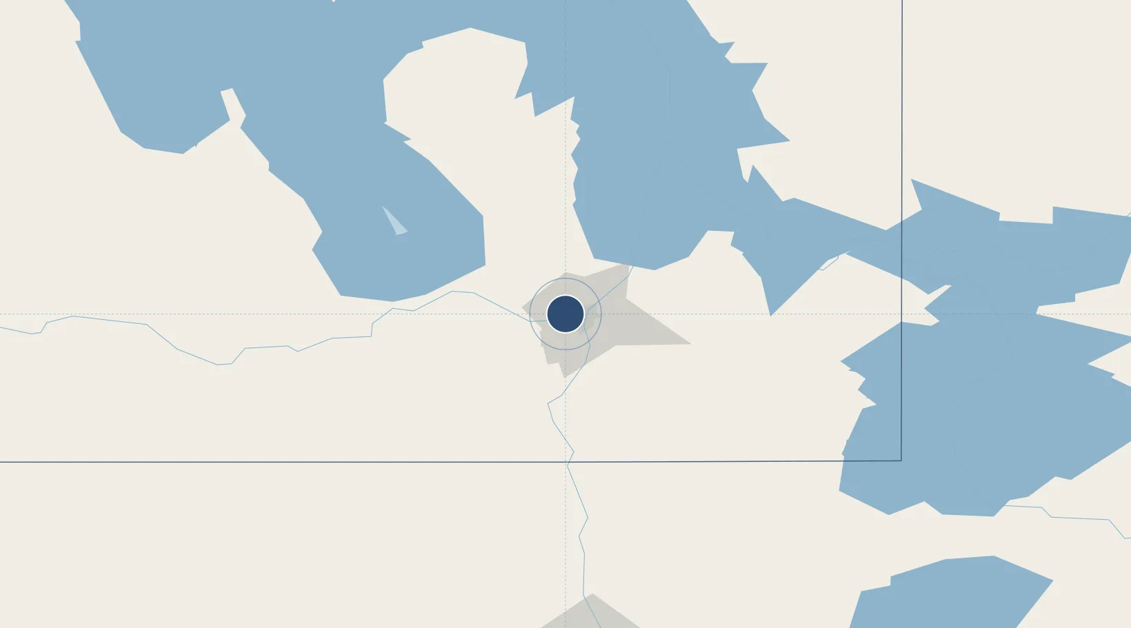
49.9100°, -97.2399°
11,000 ft
Longest runway
2
Runways
783 ft
Elevation
Runway & Layout

Radio Frequencies
ATIS
120.2 MHz
TWR
118.3 MHz
TWR
125.4 MHz
Winnipeg tower - secondary (V)
GND
121.9 MHz
CLD
121.3 MHz
CLNC DEL
DEP
119.9 MHz
ARR
119.5 MHz
MIL
131.4 MHz
Military operations
MIL
308.8 MHz
Military operations
PMSV
34.46 MHz
VFR ADV
121 MHz
Winnipeg advisory
Navaids
WG NDB Winnipeg 248 kHz
YWG VORTAC Winnipeg 115.50 MHz
ZHT NDB Forks 236 kHz
ZWG NDB Stoney 287 kHz
ZWN NDB Downs 201 kHz
ZWW NDB Boine 215 kHz
Runways · 2
| Runway | Dimensions | Surface | True heading | Lit |
|---|---|---|---|---|
| 18/36 | 11,000 × 200ft | Asphalt | 189° | ✓ |
| 13/31 | 8,841 × 200ft | Asphalt | 137° | ✓ |
Airport Specifications
IATA code
YWG
ICAO code
CYWG
Airport class
Large airport
Scheduled service
Yes
Runway surface
Asphalt
Served city
Winnipeg
Location
Nearby Logistics Neighbours
Airports
Cities
- 1Winnipeg7 km
- 2East Saint-Paul10 km
- 3Rosser17 km
- 4La Salle23 km
- 5Stonewall26 km
Ports
- 1Duluth516 km
- 2Superior520 km
- 3Two Harbors523 km
- 4Grand Marais559 km
- 5Bayfield587 km
Trade Zones
- 1Winnipegs Centreport Canada8 km
- 2FTZ No. 103 Grand Forks222 km
- 3FTZ No. 259 Koochiching County280 km
- 4FTZ No. 267 Fargo340 km
- 5FTZ No. 051 Duluth508 km
DatabookThe Record of Consolidated Knowledge
Canada beyond logistics?