Medium airport · Canada
Portage-la-Prairie / Southport AirportCYPG
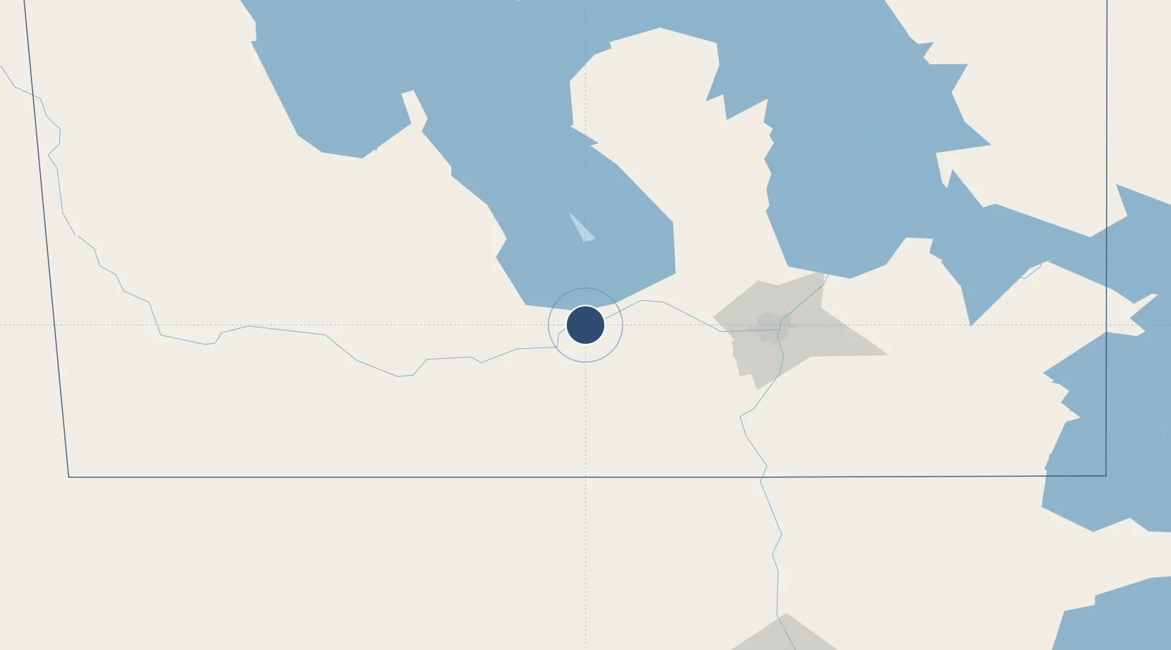
49.9031°, -98.2738°
7,000 ft
Longest runway
4
Runways
885 ft
Elevation
Runway & Layout

Radio Frequencies
ATIS
120.85 MHz
TWR
126.2 MHz
GND
121.7 MHz
ATF
126.2 MHz
Navaids
PG NDB Portage 353 kHz
YPG VOR-DME Portage 114.60 MHz
Runways · 4
| Runway | Dimensions | Surface | True heading | Lit |
|---|---|---|---|---|
| 13R/31L | 7,000 × 200ft | Asphalt | 133° | ✓ |
| 13L/31R | 3,130 × 150ft | Asphalt | 134° | — |
| 02/20 | 3,045 × 150ft | Asphalt | 019° | ✓ |
| 09/27 | 2,670 × 150ft | Asphalt | 089° | — |
Airport Specifications
IATA code
YPG
ICAO code
CYPG
Airport class
Medium airport
Scheduled service
No
Runway surface
Asphalt
Served city
Portage la Prairie
Location
Nearby Logistics Neighbours
Airports
Cities
- 1Southport2 km
- 2Portage La Prairie7 km
- 3Newton15 km
- 4Oakville20 km
- 5Saint-Claude29 km
Ports
- 1Duluth574 km
- 2Superior578 km
- 3Two Harbors584 km
- 4Grand Marais628 km
- 5Bayfield650 km
Trade Zones
- 1Winnipegs Centreport Canada81 km
- 2FTZ No. 103 Grand Forks235 km
- 3FTZ No. 259 Koochiching County340 km
- 4FTZ No. 267 Fargo353 km
- 5Global Transportation Hub Authority465 km
DatabookThe Record of Consolidated Knowledge
Canada beyond logistics?