Medium airport · Canada

Winnipeg / St. Andrews AirportCYAV
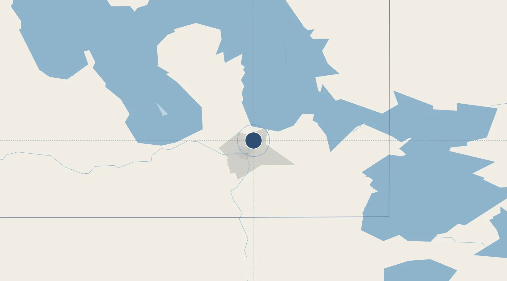
50.0564°, -97.0325°
3,000 ft
Longest runway
3
Runways
760 ft
Elevation

Runway & Layout

Winnipeg / St. Andrews Airport runway & taxiway layout
Runway & taxiway layout — OpenStreetMap (ODbL) / OurAirports

Radio Frequencies

ATIS
125.8 MHz
TWR
118.5 MHz
GND
121.8 MHz
ATF
118.5 MHz
OurAirports

Runways · 3

RunwayDimensions SurfaceTrue headingLit
13/31 3,000 × 75ft Asphalt 132°
18/36 3,000 × 75ft Asphalt 190°
04/22 2,850 × 75ft Asphalt 046°
OurAirports

Airport Specifications

ICAO code
CYAV
OurAirports
Airport class
Medium airport
OurAirports
Scheduled service
Yes
OurAirports
Runway surface
Asphalt
OurAirports
Served city
Winnipeg/Saint Andrews
OurAirports

Location

Location of CYAV
Natural Earth 10m (public domain) · Manitoba · CYAV · 50.06, -97.03GoogleOSMYandex

Nearby Logistics Neighbours

Airports
  1. 1Winnipeg / James Armstrong Richardson International Airport22 km
  2. 2Gimli Industrial Park Airport64 km
  3. 3Lac du Bonnet Airport78 km
  4. 4Portage-la-Prairie / Southport Airport90 km
  5. 5Kenora Airport193 km
Nearest neighbours — logibook spatial index (haversine) over the source coordinates
Cities
  1. 1Lockport7 km
  2. 2East Saint-Paul15 km
  3. 3Winnipeg19 km
  4. 4Stonewall23 km
  5. 5Petersfield28 km
Nearest neighbours — logibook spatial index (haversine) over the source coordinates
Ports
  1. 1Duluth516 km
  2. 2Superior520 km
  3. 3Two Harbors521 km
  4. 4Grand Marais553 km
  5. 5Bayfield584 km
Nearest neighbours — logibook spatial index (haversine) over the source coordinates
Trade Zones
  1. 1Winnipegs Centreport Canada20 km
  2. 2FTZ No. 103 Grand Forks238 km
  3. 3FTZ No. 259 Koochiching County280 km
  4. 4FTZ No. 267 Fargo356 km
  5. 5FTZ No. 051 Duluth508 km
Nearest neighbours — logibook spatial index (haversine) over the source coordinates
DatabookThe Record of Consolidated Knowledge
Canada beyond logistics?
Browse databook

All Sources

AirportsOurAirports
Public domain
Portsthe NGA World Port Index
Public domain (US gov)
LocationsUN/LOCODE
UN/LOCODE — free
Trade Zonesthe World Bank SEZ database
CC BY 4.0
Trade ZonesOpen Zone Map
CC BY
InfrastructureOpenStreetMap
ODbL 1.0
← Canada airports