Economic Revitalization Project · Lithuania
Akmenė Free Economic Zone Active
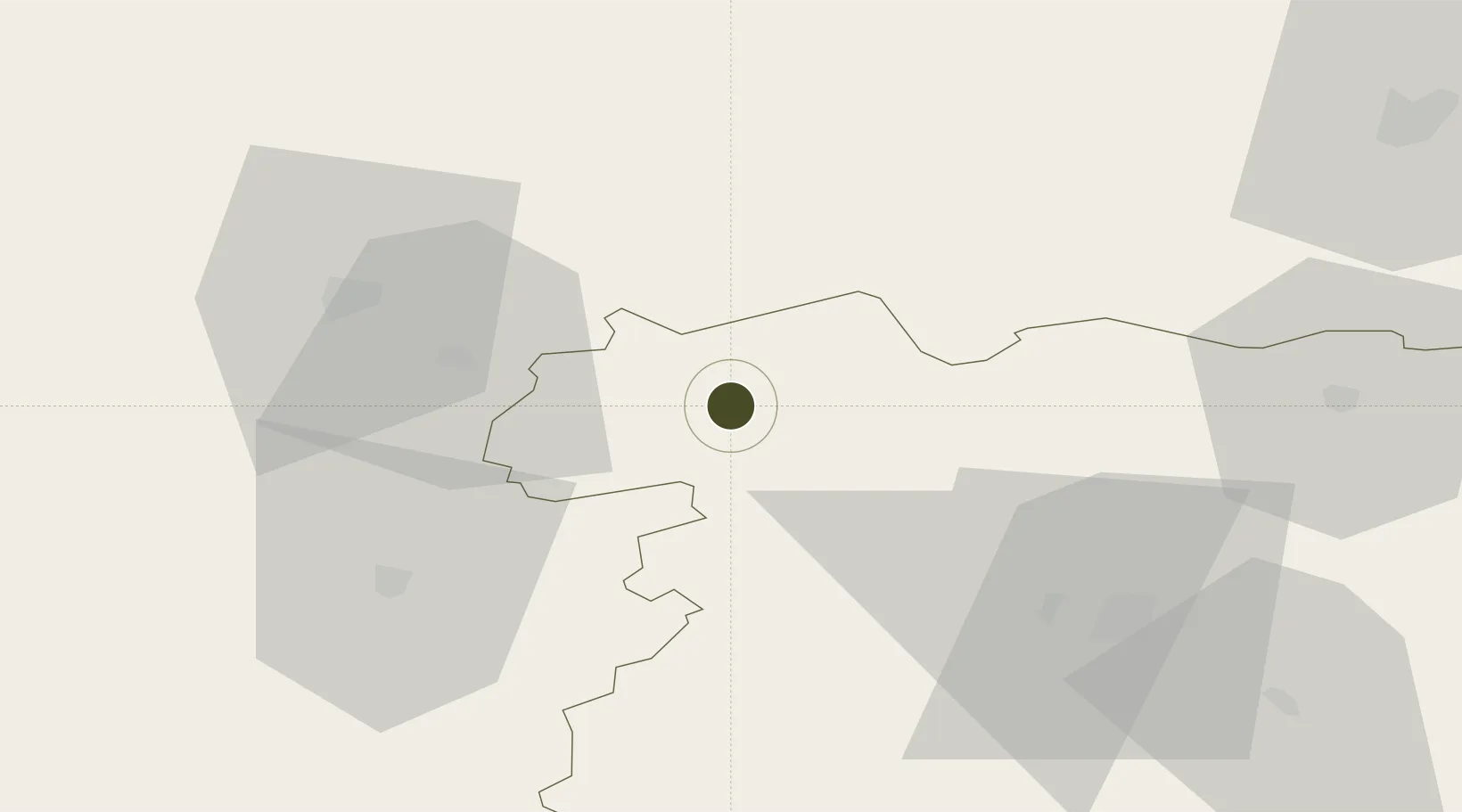
56.2441°, 22.7384°
97 ha
Zone area
110.2 km
Nearest port
54.3 km
Nearest airport
Gateway access
Zone profile
Zone type
Economic Revitalization Project
Region
Šiauliai
Status
Active
Management
Private
Operator
Akmenės Laisvoji Ekonominė Zona, UAB
Legal framework
Law on the Fundamentals of Free Economic Zones Number of document: I-976 1996-04-02
Location
Nearby Logistics Neighbours
Ports
- 1Liepaja110 km
- 2Butinge Oil Terminal113 km
- 3Riga115 km
- 4Klaipeda117 km
- 5Ventspils148 km
Airports
- 1Barysiai Airfield54 km
- 2Šiauliai International Airport56 km
- 3Jūrmala Airport83 km
- 4Liepāja International Airport106 km
- 5Palanga International Airport106 km
Cities
- 1Venta5 km
- 2Naujoji Akmene12 km
- 3Mazeikiai25 km
- 4Auce27 km
- 5Kursénai31 km
Trade Zones
- 1ō iauliai Free Economic Zone55 km
- 2Liepāja SEZ107 km
- 3Free Port of Riga115 km
- 4Panevėžys Free Economic Zone126 km
- 5Kėdainiai Free Economic Zone134 km
DatabookThe Record of Consolidated Knowledge
Lithuania beyond logistics?