Transport Functions
Multimodal
Hub Profile
Place type
Populated place
Region
Siauliai
Population
3,270
Time zone
Europe/Vilnius
Elevation
72 m
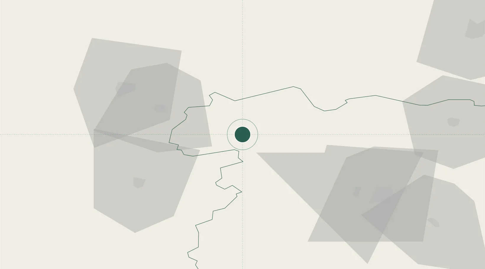
Location
Nearby Logistics Neighbours
Cities
- 1Naujoji Akmene17 km
- 2Mazeikiai25 km
- 3Kursénai28 km
- 4Micaiciai29 km
- 5Auce32 km
Ports
- 1Liepaja110 km
- 2Butinge Oil Terminal110 km
- 3Klaipeda112 km
- 4Riga120 km
- 5Ventspils151 km
Airports
- 1Šiauliai International Airport55 km
- 2Barysiai Airfield55 km
- 3Jūrmala Airport89 km
- 4Palanga International Airport103 km
- 5Liepāja International Airport105 km
Trade Zones
- 1Akmenė Free Economic Zone5 km
- 2ō iauliai Free Economic Zone53 km
- 3Liepāja SEZ105 km
- 4Free Port of Riga120 km
- 5Panevėžys Free Economic Zone125 km
DatabookThe Record of Consolidated Knowledge
Lithuania beyond logistics?