Medium airport · Lithuania

Šiauliai International AirportEYSA
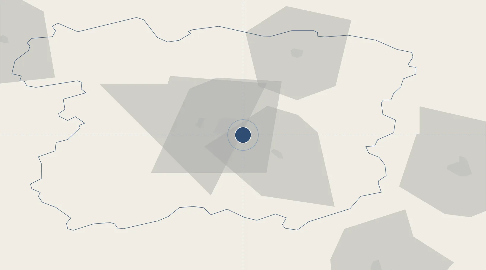
55.8939°, 23.3950°
11,483 ft
Longest runway
2
Runways
443 ft
Elevation

Runway & Layout

Šiauliai International Airport runway & taxiway layout
Runway & taxiway layout — OpenStreetMap (ODbL) / OurAirports

Radio Frequencies

TWR
120.4 MHz
OurAirports

Navaids

SAU VOR-DME Siauliai 115.20 MHz
SQQ TACAN Siauliai 116.30 MHz
OurAirports

Runways · 2

RunwayDimensions SurfaceTrue headingLit
14L/32R 11,483 × 148ft Concrete 146°
14R/32L 10,761 × 105ft Concrete 146°
OurAirports

Airport Specifications

IATA code
SQQ
OurAirports
ICAO code
EYSA
OurAirports
Airport class
Medium airport
OurAirports
Scheduled service
No
OurAirports
Runway surface
Concrete
OurAirports
Served city
Šiauliai
OurAirports

Location

Location of EYSA
Natural Earth 10m (public domain) · Šiauliai · EYSA · 55.89, 23.39GoogleOSMYandex

Nearby Logistics Neighbours

Airports
  1. 1Barysiai Airfield22 km
  2. 2Panevėžys Air Base69 km
  3. 3Kėdainiai Air Base74 km
  4. 4Kaunas International Airport112 km
  5. 5Jonava Air Base116 km
Nearest neighbours — logibook spatial index (haversine) over the source coordinates
Cities
  1. 1Radviliskis12 km
  2. 2Pakruojis31 km
  3. 3Micaiciai31 km
  4. 4Kursénai31 km
  5. 5Tytuvenai35 km
Nearest neighbours — logibook spatial index (haversine) over the source coordinates
Ports
  1. 1Riga125 km
  2. 2Klaipeda144 km
  3. 3Butinge Oil Terminal153 km
  4. 4Liepaja163 km
  5. 5Ventspils203 km
Nearest neighbours — logibook spatial index (haversine) over the source coordinates
Trade Zones
  1. 1ō iauliai Free Economic Zone2 km
  2. 2Akmenė Free Economic Zone56 km
  3. 3Panevėžys Free Economic Zone70 km
  4. 4Kėdainiai Free Economic Zone80 km
  5. 5Kaunas Free Economic Zone113 km
Nearest neighbours — logibook spatial index (haversine) over the source coordinates
DatabookThe Record of Consolidated Knowledge
Lithuania beyond logistics?
Browse databook

All Sources

AirportsOurAirports
Public domain
Portsthe NGA World Port Index
Public domain (US gov)
LocationsUN/LOCODE
UN/LOCODE — free
Trade Zonesthe World Bank SEZ database
CC BY 4.0
Trade ZonesOpen Zone Map
CC BY
InfrastructureOpenStreetMap
ODbL 1.0
← Lithuania airports