Economic Revitalization Project · Lithuania
ō iauliai Free Economic Zone Active
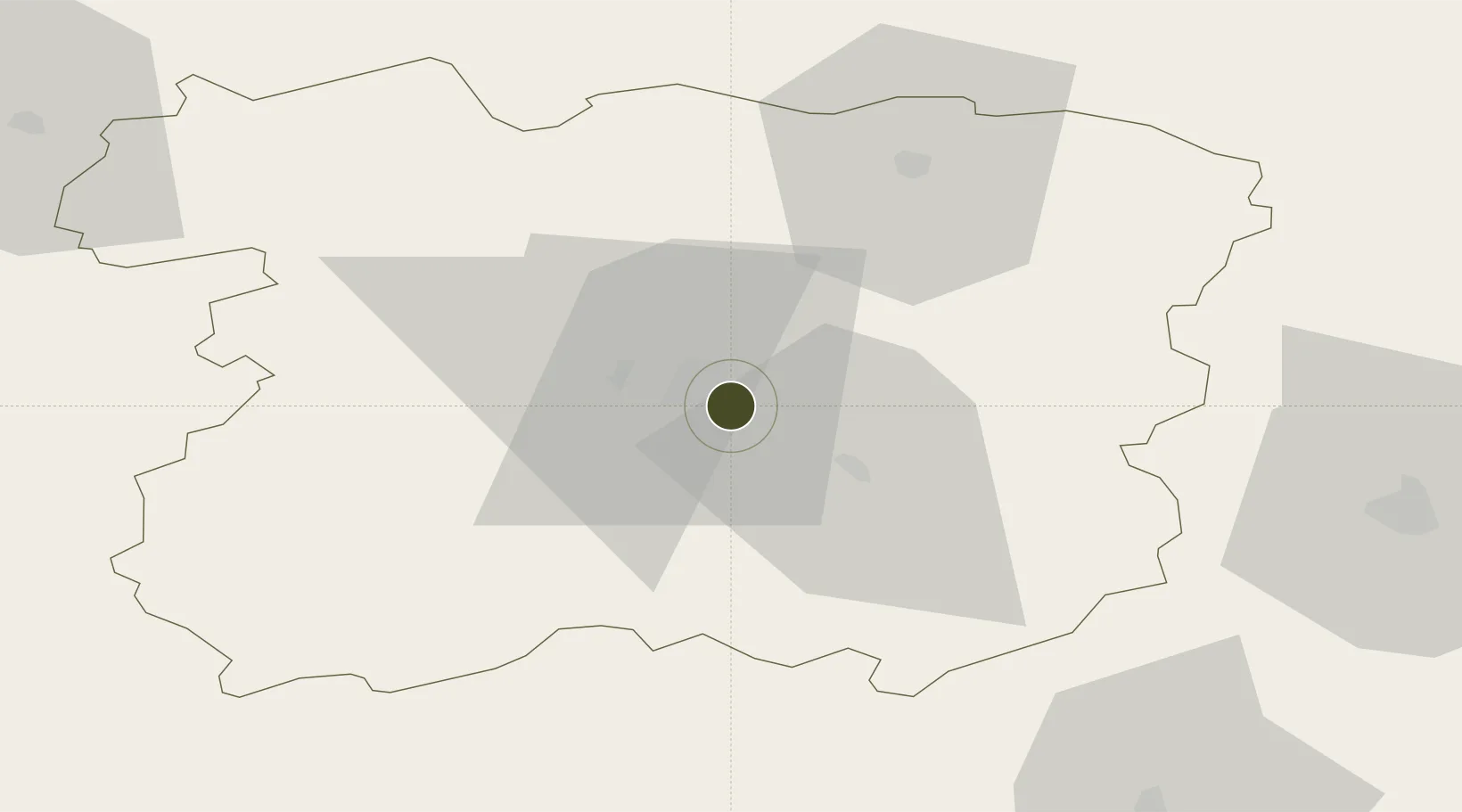
55.9010°, 23.3665°
133 ha
Zone area
125.1 km
Nearest port
1.9 km
Nearest airport
Gateway access
Zone profile
Zone type
Economic Revitalization Project
Region
Šiauliai
Status
Active
Management
Private
Operator
ō iauliai Free Economic Zone
Legal framework
Law on the Fundamentals of Free Economic Zones Number of document: I-976 1996-04-02
Location
Nearby Logistics Neighbours
Ports
- 1Riga125 km
- 2Klaipeda142 km
- 3Butinge Oil Terminal151 km
- 4Liepaja161 km
- 5Ventspils201 km
Airports
- 1Šiauliai International Airport2 km
- 2Barysiai Airfield22 km
- 3Panevėžys Air Base71 km
- 4Kėdainiai Air Base75 km
- 5Kaunas International Airport114 km
Cities
- 1Radviliskis14 km
- 2Micaiciai29 km
- 3Kursénai30 km
- 4Pakruojis32 km
- 5Tytuvenai35 km
Trade Zones
- 1Akmenė Free Economic Zone55 km
- 2Panevėžys Free Economic Zone72 km
- 3Kėdainiai Free Economic Zone81 km
- 4Kaunas Free Economic Zone114 km
- 5Free Port of Riga126 km
DatabookThe Record of Consolidated Knowledge
Lithuania beyond logistics?