Transport Functions
Rail
Road
Hub Profile
Place type
Populated place
Region
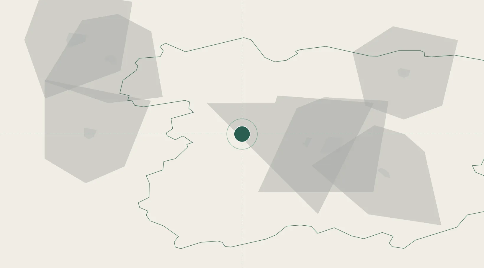
Siauliai
Population
10,829
Time zone
Europe/Vilnius
Elevation
104 m
Location
Nearby Logistics Neighbours
Cities
- 1Micaiciai2 km
- 2Venta28 km
- 3Naujoji Akmene37 km
- 4Telsiai43 km
- 5Radviliskis43 km
Ports
- 1Klaipeda116 km
- 2Butinge Oil Terminal122 km
- 3Riga130 km
- 4Liepaja132 km
- 5Ventspils179 km
Airports
- 1Šiauliai International Airport31 km
- 2Barysiai Airfield41 km
- 3Kėdainiai Air Base99 km
- 4Panevėžys Air Base100 km
- 5Jūrmala Airport108 km
Trade Zones
- 1ō iauliai Free Economic Zone30 km
- 2Akmenė Free Economic Zone31 km
- 3Panevėžys Free Economic Zone99 km
- 4Kėdainiai Free Economic Zone105 km
- 5Liepāja SEZ123 km
DatabookThe Record of Consolidated Knowledge
Lithuania beyond logistics?