Economic Revitalization Project · Lithuania

Kėdainiai Free Economic Zone Active
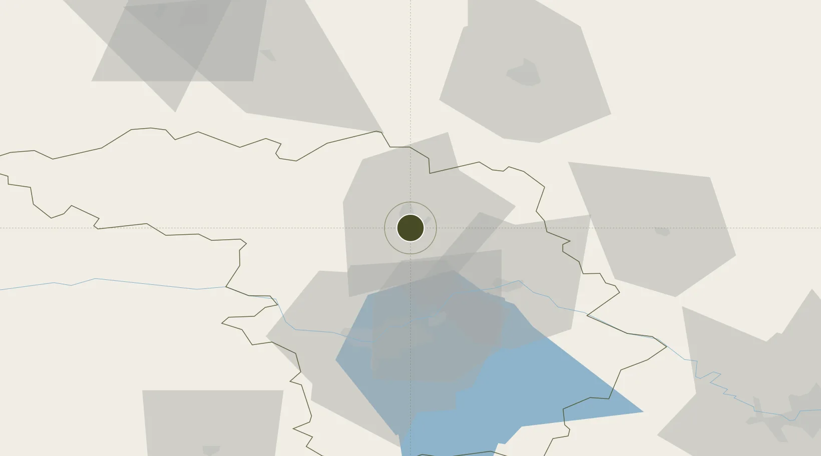
55.2642°, 23.9935°
131 ha
Zone area
187.6 km
Nearest port
5.8 km
Nearest airport

Gateway access

Nearest neighbours — logibook spatial index (haversine) over the source coordinates

Zone profile

Zone type
Economic Revitalization Project
Open Zone Map
Region
Kauno
Open Zone Map
Status
Active
Open Zone Map
Management
Private
Open Zone Map
Operator
Kėdainiō³ Laisvoji Ekonominė Zona, UAB
Open Zone Map
Legal framework
Law on the Fundamentals of Free Economic Zones Number of document: I-976 1996-04-02
Open Zone Map

Location

Location of ozm-2722
Natural Earth 10m (public domain) · Kauno · ozm-2722 · 55.26, 23.99GoogleOSMYandex

Nearby Logistics Neighbours

Ports
  1. 1Riga188 km
  2. 2Klaipeda188 km
  3. 3Butinge Oil Terminal209 km
  4. 4Liepaja232 km
  5. 5Kaliningrad233 km
Nearest neighbours — logibook spatial index (haversine) over the source coordinates
Airports
  1. 1Kėdainiai Air Base6 km
  2. 2Kaunas International Airport34 km
  3. 3Jonava Air Base37 km
  4. 4Panevėžys Air Base60 km
  5. 5Šiauliai International Airport80 km
Nearest neighbours — logibook spatial index (haversine) over the source coordinates
Cities
  1. 1Jonava28 km
  2. 2Ukmerge49 km
  3. 3Kaisiadorys53 km
  4. 4Raseiniai57 km
  5. 5Tytuvenai63 km
Nearest neighbours — logibook spatial index (haversine) over the source coordinates
Trade Zones
  1. 1Panevėžys Free Economic Zone23 km
  2. 2Kaunas Free Economic Zone36 km
  3. 3ō iauliai Free Economic Zone81 km
  4. 4Marijampolė Free Economic Zone93 km
  5. 5Akmenė Free Economic Zone134 km
Nearest neighbours — logibook spatial index (haversine) over the source coordinates
DatabookThe Record of Consolidated Knowledge
Lithuania beyond logistics?
Browse databook

All Sources

Trade ZonesOpen Zone Map
CC BY
Portsthe NGA World Port Index
Public domain (US gov)
AirportsOurAirports
Public domain
LocationsUN/LOCODE
UN/LOCODE — free
← Lithuania trade zones