Economic Revitalization Project · Lithuania

Panevėžys Free Economic Zone Active
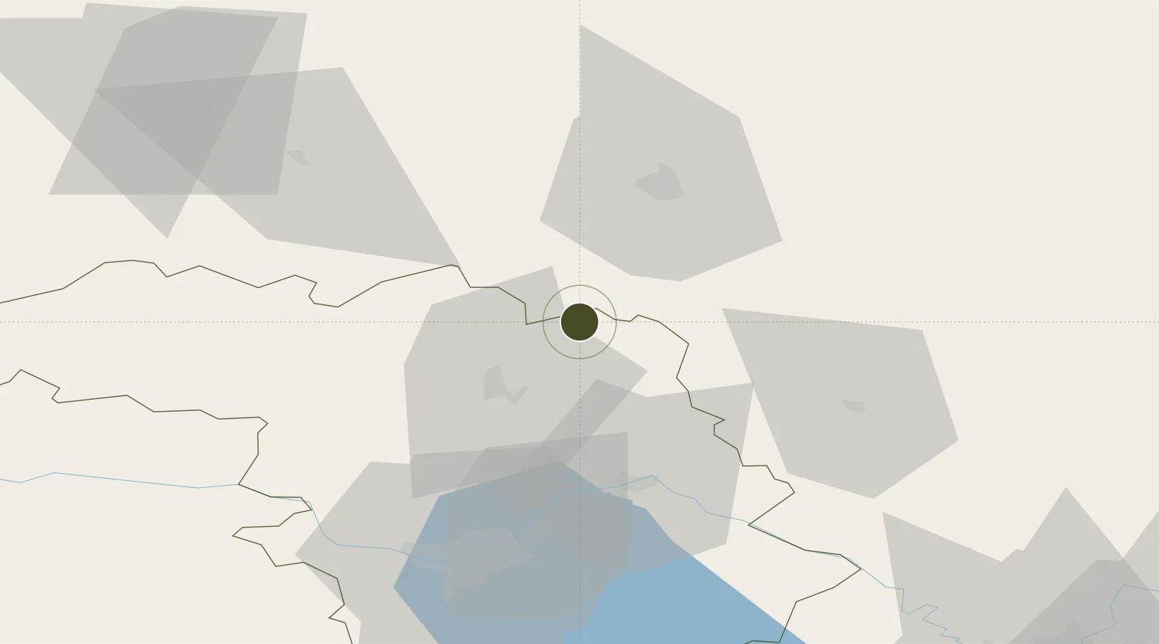
55.4415°, 24.1728°
47 ha
Zone area
167.8 km
Nearest port
19.9 km
Nearest airport

Gateway access

Nearest neighbours — logibook spatial index (haversine) over the source coordinates

Zone profile

Zone type
Economic Revitalization Project
Open Zone Map
Region
Kauno
Open Zone Map
Status
Active
Open Zone Map
Management
Private
Open Zone Map
Operator
Ogmios Group
Open Zone Map
Legal framework
Law on the Fundamentals of Free Economic Zones Number of document: I-976 1996-04-02
Open Zone Map

Location

Location of ozm-2719
Natural Earth 10m (public domain) · Kauno · ozm-2719 · 55.44, 24.17GoogleOSMYandex

Nearby Logistics Neighbours

Ports
  1. 1Riga168 km
  2. 2Klaipeda195 km
  3. 3Butinge Oil Terminal212 km
  4. 4Liepaja230 km
  5. 5Kaliningrad249 km
Nearest neighbours — logibook spatial index (haversine) over the source coordinates
Airports
  1. 1Kėdainiai Air Base20 km
  2. 2Panevėžys Air Base37 km
  3. 3Jonava Air Base50 km
  4. 4Kaunas International Airport53 km
  5. 5Šiauliai International Airport70 km
Nearest neighbours — logibook spatial index (haversine) over the source coordinates
Cities
  1. 1Jonava42 km
  2. 2Ukmerge43 km
  3. 3Pusalotas53 km
  4. 4Radviliskis58 km
  5. 5Anyksciai59 km
Nearest neighbours — logibook spatial index (haversine) over the source coordinates
Trade Zones
  1. 1Kėdainiai Free Economic Zone23 km
  2. 2Kaunas Free Economic Zone57 km
  3. 3ō iauliai Free Economic Zone72 km
  4. 4Marijampolė Free Economic Zone115 km
  5. 5Akmenė Free Economic Zone126 km
Nearest neighbours — logibook spatial index (haversine) over the source coordinates
DatabookThe Record of Consolidated Knowledge
Lithuania beyond logistics?
Browse databook

All Sources

Trade ZonesOpen Zone Map
CC BY
Portsthe NGA World Port Index
Public domain (US gov)
AirportsOurAirports
Public domain
LocationsUN/LOCODE
UN/LOCODE — free
← Lithuania trade zones