Transport Functions
Rail
Road
Hub Profile
Place type
Provincial seat
Region
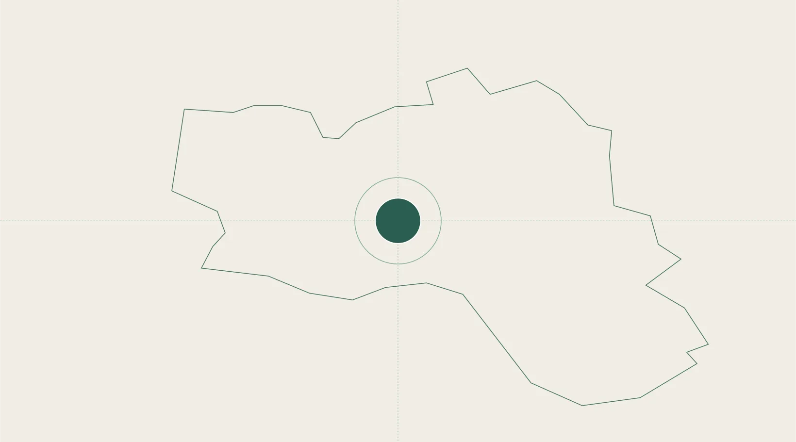
Dobele Municipality
Population
2,154
Time zone
Europe/Riga
Elevation
91 m
Location
Nearby Logistics Neighbours
Cities
- 1Naujoji Akmene17 km
- 2Dobele29 km
- 3Venta32 km
- 4Saldus33 km
- 5Broceni34 km
Ports
- 1Riga91 km
- 2Liepaja116 km
- 3Butinge Oil Terminal130 km
- 4Ventspils133 km
- 5Klaipeda139 km
Airports
- 1Jūrmala Airport57 km
- 2Barysiai Airfield60 km
- 3Šiauliai International Airport71 km
- 4Riga International Airport83 km
- 5Liepāja International Airport111 km
Trade Zones
- 1Akmenė Free Economic Zone27 km
- 2ō iauliai Free Economic Zone69 km
- 3Free Port of Riga91 km
- 4Liepāja SEZ118 km
- 5Free port of Ventspils133 km
DatabookThe Record of Consolidated Knowledge
Latvia beyond logistics?