Transport Functions
Rail
Road
Hub Profile
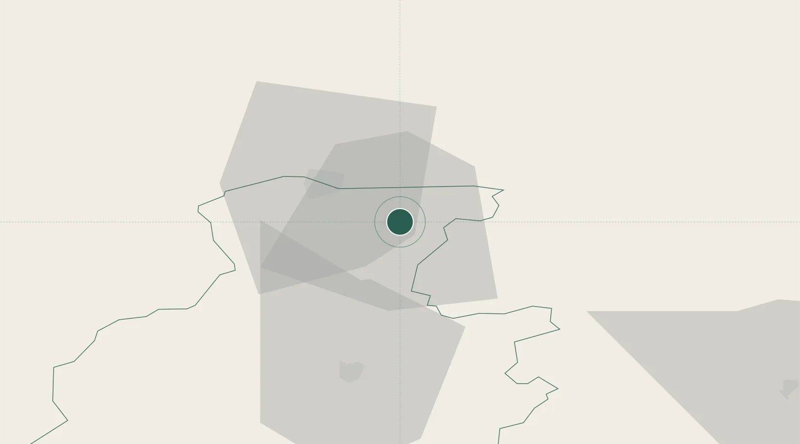
Place type
Populated place
Region
Telsiai
Population
32,470
Time zone
Europe/Vilnius
Elevation
70 m
Location
Nearby Logistics Neighbours
Cities
- 1Venta25 km
- 2Naujoji Akmene33 km
- 3Auce38 km
- 4Telsiai40 km
- 5Saldus40 km
Ports
- 1Liepaja85 km
- 2Butinge Oil Terminal92 km
- 3Klaipeda102 km
- 4Riga128 km
- 5Ventspils130 km
Airports
- 1Barysiai Airfield80 km
- 2Šiauliai International Airport80 km
- 3Liepāja International Airport80 km
- 4Palanga International Airport87 km
- 5Jūrmala Airport88 km
Trade Zones
- 1Akmenė Free Economic Zone25 km
- 2ō iauliai Free Economic Zone78 km
- 3Liepāja SEZ82 km
- 4Klaipėda Free Economic Zone127 km
- 5Free Port of Riga128 km
DatabookThe Record of Consolidated Knowledge
Lithuania beyond logistics?