Export Processing Zone · Latvia
Free Port of Riga Active
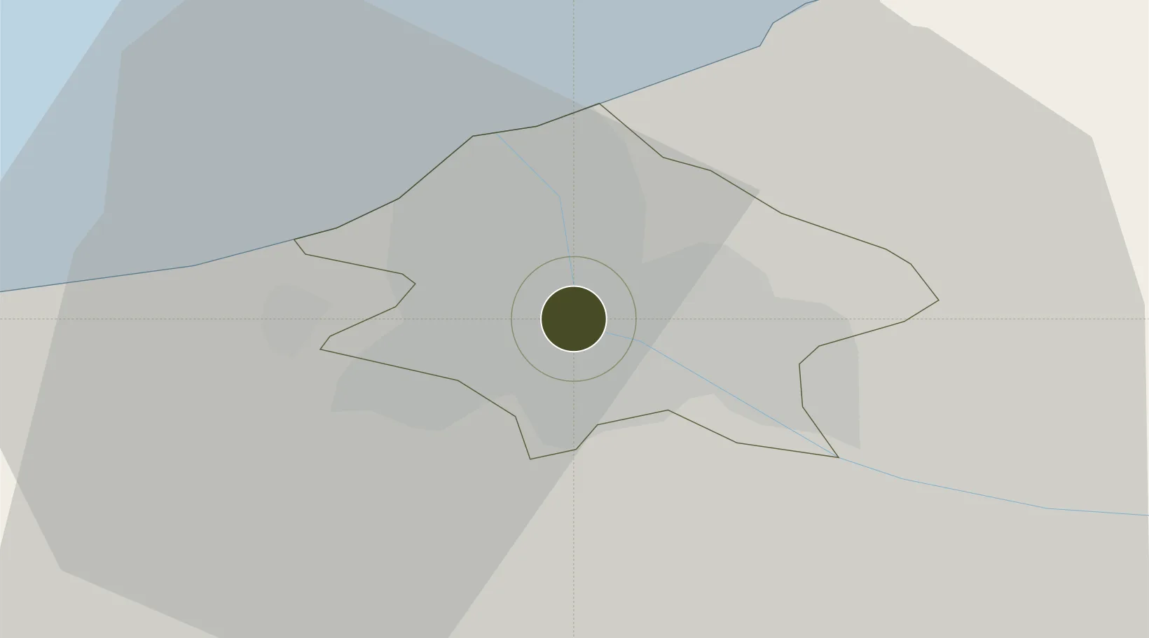
56.9576°, 24.0975°
1,962 ha
Zone area
0.9 km
Nearest port
8.7 km
Nearest airport
Gateway access
Zone profile
Zone type
Export Processing Zone
Region
Riga
Status
Active
Management
Public
Operator
Freeport of Riga Authority
Legal framework
The Free Port of Riga Law of 2000, On the Application of Taxes in Free Ports and Special Economic Zones: Latvian Legislation dated 2001
Location
Nearby Logistics Neighbours
Ports
- 1Riga1 km
- 2Salacgriva84 km
- 3Parnu160 km
- 4Roomassaare169 km
- 5Virtsu183 km
Airports
- 1Riga International Airport9 km
- 2Jūrmala Airport53 km
- 3Barysiai Airfield104 km
- 4Ruhnu Airfield105 km
- 5Jēkabpils Air Base119 km
Trade Zones
- 1Akmenė Free Economic Zone115 km
- 2ō iauliai Free Economic Zone126 km
- 3Free port of Ventspils163 km
- 4Panevėžys Free Economic Zone169 km
- 5Kėdainiai Free Economic Zone188 km
DatabookThe Record of Consolidated Knowledge
Latvia beyond logistics?