UN/LOCODE hub · Lithuania
LTNAK
Naujoji Akmene
56.3167°, 22.8833°
11,922
Population
2
Transport functions
Transport Functions
Rail
Road
Hub Profile
Place type
Populated place
Region
Siauliai
Population
11,922
Time zone
Europe/Vilnius
Elevation
79 m
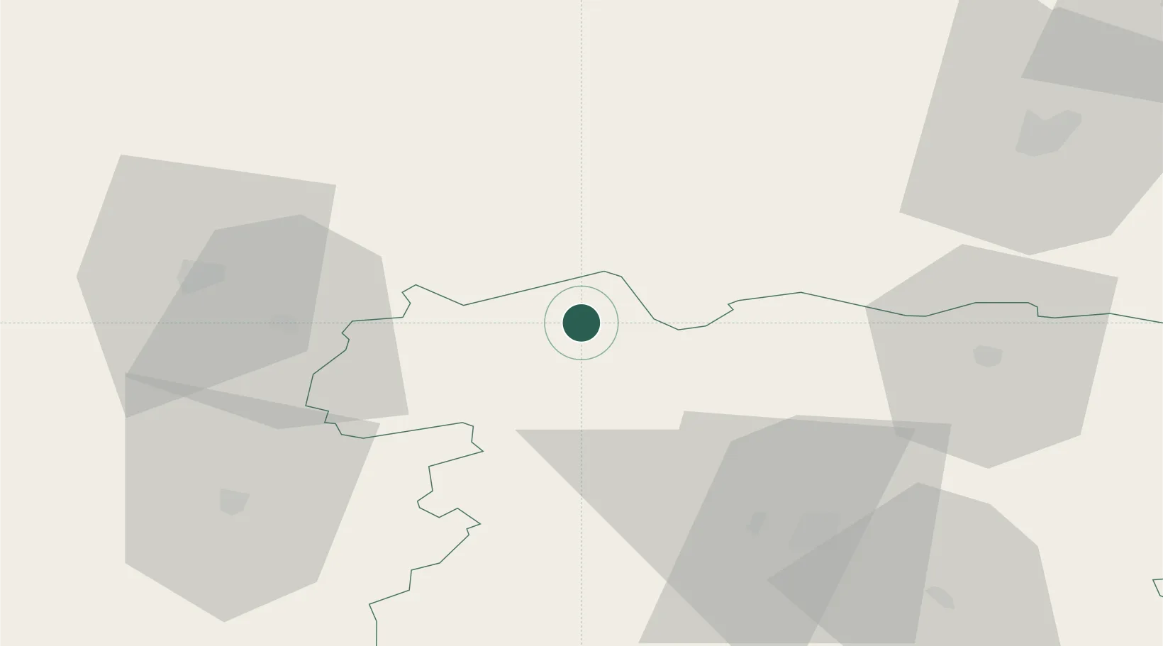
Location
Nearby Logistics Neighbours
Ports
- 1Riga102 km
- 2Liepaja117 km
- 3Butinge Oil Terminal124 km
- 4Klaipeda129 km
- 5Ventspils146 km
Airports
- 1Barysiai Airfield50 km
- 2Šiauliai International Airport57 km
- 3Jūrmala Airport73 km
- 4Riga International Airport95 km
- 5Liepāja International Airport112 km
Trade Zones
- 1Akmenė Free Economic Zone12 km
- 2ō iauliai Free Economic Zone55 km
- 3Free Port of Riga103 km
- 4Liepāja SEZ115 km
- 5Panevėžys Free Economic Zone126 km
DatabookThe Record of Consolidated Knowledge
Lithuania beyond logistics?