Channel & Berth Profile
Pilotage, Tugs & Services
Pilotage compulsoryYES
Pilotage availableYES
Pilotage advisableYES
Tug assistanceYES
Potable waterYES
Diesel bunkersYES
MedicalYES
Facilities & Capabilities
ContainerYES
Ro-RoYES
Liquid bulkYES
Dry bulkYES
Oil terminalNO
Break bulkYES
Dry dockNO
RepairsNO
BunkeringYES
Rail linkYES
Dangerous cargo—
ISPS security—
Harbour Specifications
Harbour size
Medium
Harbour type
Coastal (Breakwater)
Shelter
Good
Water body
Baltic Sea; North Atlantic Ocean
Tidal range
1 m
Overhead limit
Yes
Pilotage
Yes
Liner Connectivity
10.2
PLSCI
Port Liner Shipping Connectivity Index for Ventspils, as published by UNCTAD for the latest available quarter. Higher values indicate stronger scheduled liner-shipping integration.
Shown relative to the highest per-port PLSCI in the dataset (1,657.9).
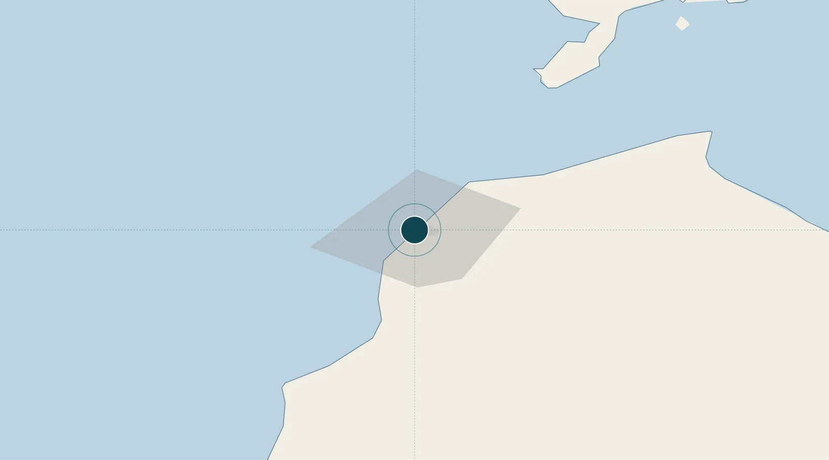
Location
Nearby Logistics Neighbours
Ports
- 1Liepaja103 km
- 2Roomassaare107 km
- 3Saaremaa sadam133 km
- 4Butinge Oil Terminal156 km
- 5Farosund159 km
Cities
- 1Pavilosta61 km
- 2Valdgale63 km
- 3Mõntu Väikelaevade Sadam70 km
- 4Mõntu71 km
- 5Kaavi Paadisadam76 km
Airports
- 1Liepāja International Airport102 km
- 2Kuressaare Airport109 km
- 3Ruhnu Airfield112 km
- 4Jūrmala Airport114 km
- 5Riga International Airport156 km
Trade Zones
- 1Free port of Ventspils1 km
- 2Liepāja SEZ126 km
- 3Akmenė Free Economic Zone148 km
- 4Free Port of Riga162 km
- 5ō iauliai Free Economic Zone201 km
DatabookThe Record of Consolidated Knowledge
Latvia beyond logistics?