Large airport · Lithuania
Palanga International AirportEYPA
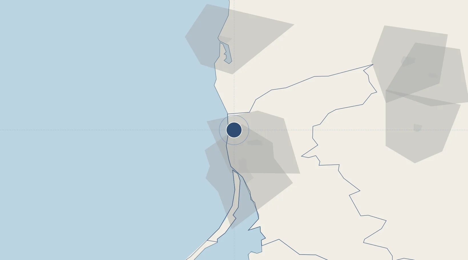
55.9732°, 21.0939°
7,480 ft
Longest runway
1
Runways
33 ft
Elevation
Runway & Layout

Radio Frequencies
ATIS
127.8 MHz
TWR
118.3 MHz
APP
124.3 MHz
RMP
131.5 MHz
Navaids
PN NDB Palanga 407 kHz
Runways · 1
| Runway | Dimensions | Surface | True heading | Lit |
|---|---|---|---|---|
| 01/19 | 7,480 × 148ft | Asphalt | 013° | ✓ |
Airport Specifications
IATA code
PLQ
ICAO code
EYPA
Airport class
Large airport
Scheduled service
Yes
Runway surface
Asphalt
Served city
Palanga
Location
Nearby Logistics Neighbours
Airports
- 1Liepāja International Airport61 km
- 2Khrabrovo Airport125 km
- 3Kaliningrad Chkalovsk Naval Air Base141 km
- 4Šiauliai International Airport144 km
- 5Barysiai Airfield154 km
Cities
- 1Botingé11 km
- 2Kretinga13 km
- 3Kalote21 km
- 4Rucava22 km
- 5Molo juru uosto PVP/Klaipeda29 km
Ports
- 1Butinge Oil Terminal11 km
- 2Klaipeda29 km
- 3Liepaja61 km
- 4Kaliningrad147 km
- 5Ventspils161 km
Trade Zones
- 1Liepāja SEZ37 km
- 2Klaipėda Free Economic Zone62 km
- 3Akmenė Free Economic Zone106 km
- 4ō iauliai Free Economic Zone142 km
- 5Free port of Ventspils161 km
DatabookThe Record of Consolidated Knowledge
Lithuania beyond logistics?