Seaport · Lithuania

KlaipedaLTKLJ

55.7167°, 21.1167°
15.0 m
Channel depth
2
Container terminals
180.2
Port liner connectivity
Klaipeda is also a UN/LOCODE logistics hub →

Channel & Berth Profile

SEA LEVEL (CD)CHANNEL BEDCargo pier · 6.4 mOil terminal · 12.5 mChannel · 15.0 mAnchorage · 39.0 m
NGA World Port Index

Pilotage, Tugs & Services

Pilotage compulsoryYES
Pilotage availableYES
Pilotage advisableYES
Tug assistanceYES
Shore powerYES
Potable waterYES
MedicalYES
Garbage disposalYES
NGA World Port Index

Facilities & Capabilities

ContainerYES
Ro-RoYES
Liquid bulkYES
Dry bulkYES
Oil terminalNO
Break bulkYES
Dry dock
RepairsNO
BunkeringYES
Rail linkYES
Dangerous cargo
ISPS security
NGA World Port Index

Harbour Specifications

Harbour size
Medium
NGA World Port Index
Harbour type
River (Natural)
NGA World Port Index
Shelter
Good
NGA World Port Index
Water body
Baltic Sea; North Atlantic Ocean
NGA World Port Index
Tidal range
1 m
NGA World Port Index
Overhead limit
Yes
NGA World Port Index
Pilotage
Yes
NGA World Port Index

Liner Connectivity

180.2
PLSCI

Port Liner Shipping Connectivity Index for Klaipeda, as published by UNCTAD for the latest available quarter. Higher values indicate stronger scheduled liner-shipping integration.

Shown relative to the highest per-port PLSCI in the dataset (1,657.9).
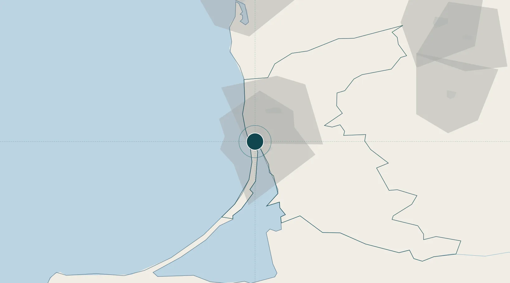
UNCTAD · Port Liner Shipping Connectivity Index

Location

Location of LTKLJ
Natural Earth 10m (public domain) · Klaipedos · LTKLJ · 55.72, 21.12GoogleOSMYandex

Container Terminals · 2

KLAIPEDA SMELTE CONTAINER TERMINAL (KSCT)
KAS KLAIPEDOS SMELTE
KLAIPEDA CONTAINER TERMINAL
KKT KLAIPEDOS KONTEINERIU TERMINALAS
SMDG Terminal Code List

Nearby Logistics Neighbours

Ports
  1. 1Butinge Oil Terminal37 km
  2. 2Liepaja89 km
  3. 3Kaliningrad120 km
  4. 4Baltiysk143 km
  5. 5Ventspils189 km
Nearest neighbours — logibook spatial index (haversine) over the source coordinates
Cities
  1. 1Malku ilankos juru uosto PVP/Klaipeda0 km
  2. 2Molo juru uosto PVP/Klaipeda1 km
  3. 3Pilies juru uosto PVP/Klaipeda2 km
  4. 4Kalote7 km
  5. 5Gargzdai18 km
Nearest neighbours — logibook spatial index (haversine) over the source coordinates
Airports
  1. 1Palanga International Airport29 km
  2. 2Liepāja International Airport89 km
  3. 3Khrabrovo Airport98 km
  4. 4Kaliningrad Chkalovsk Naval Air Base115 km
  5. 5Chernyakhovsk Naval Air Base131 km
Nearest neighbours — logibook spatial index (haversine) over the source coordinates
Trade Zones
  1. 1Klaipėda Free Economic Zone34 km
  2. 2Liepāja SEZ66 km
  3. 3Akmenė Free Economic Zone117 km
  4. 4ō iauliai Free Economic Zone142 km
  5. 5Kėdainiai Free Economic Zone188 km
Nearest neighbours — logibook spatial index (haversine) over the source coordinates
DatabookThe Record of Consolidated Knowledge
Lithuania beyond logistics?
Browse databook

All Sources

Portsthe NGA World Port Index
Public domain (US gov)
Logistics performanceUNCTAD
CC BY 3.0 IGO
Portsthe SMDG Terminal Code List
UN/LOCODE — free, attribution
AirportsOurAirports
Public domain
LocationsUN/LOCODE
UN/LOCODE — free
Trade Zonesthe World Bank SEZ database
CC BY 4.0
Trade ZonesOpen Zone Map
CC BY
← Lithuania ports