Seaport · Latvia
RigaLVRIX
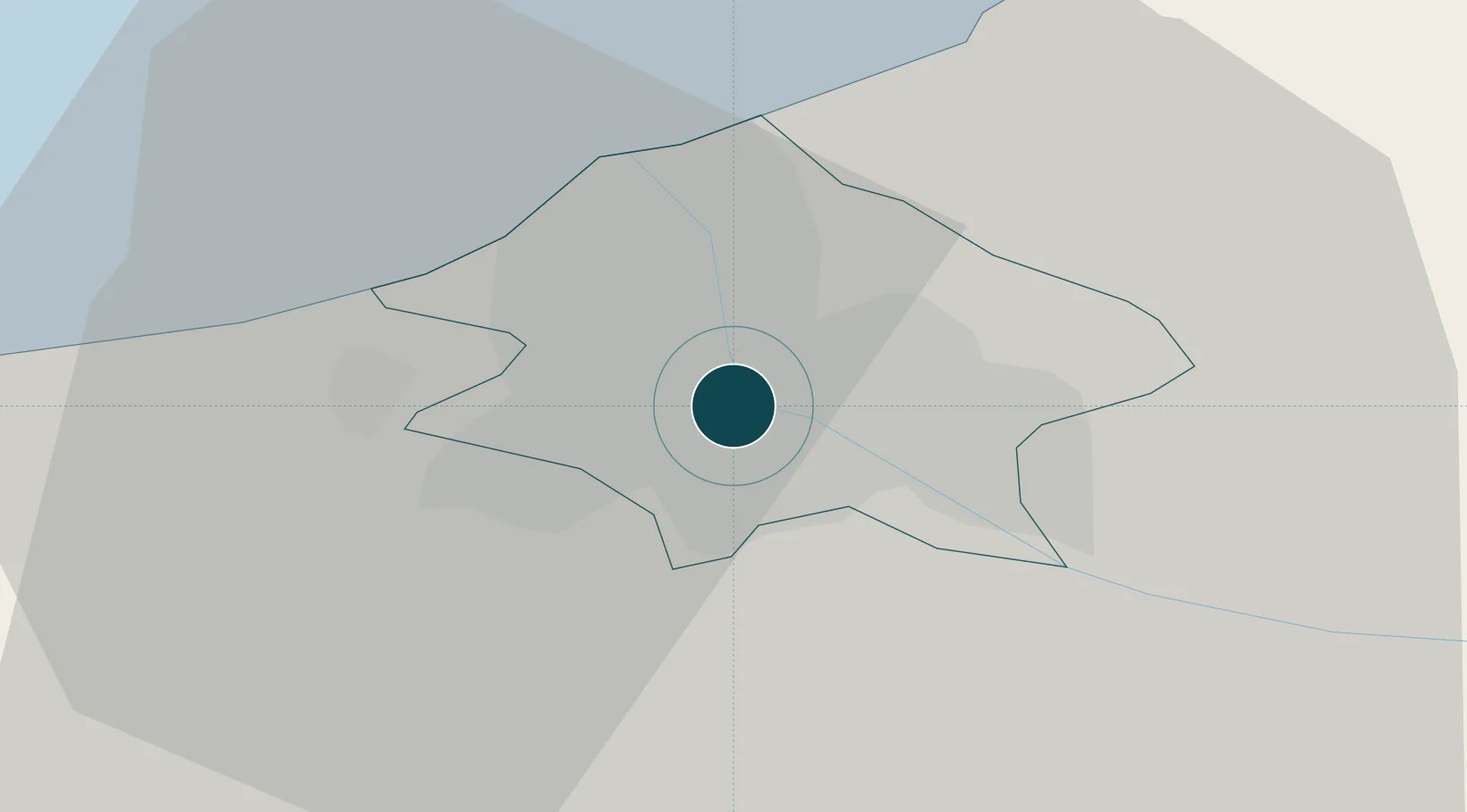
56.9500°, 24.1000°
12.5 m
Channel depth
3
Container terminals
110.2
Port liner connectivity
Channel & Berth Profile
Pilotage, Tugs & Services
Pilotage compulsoryYES
Pilotage availableYES
Pilotage advisableYES
Tug assistanceYES
Potable waterYES
MedicalYES
Garbage disposalYES
Facilities & Capabilities
ContainerYES
Ro-RoYES
Liquid bulkYES
Dry bulkYES
Oil terminal—
Break bulkYES
Dry dock—
RepairsNO
BunkeringYES
Rail link—
Dangerous cargo—
ISPS security—
Harbour Specifications
Harbour size
Large
Harbour type
River (Natural)
Shelter
Fair
Water body
Gulf of Riga; Baltic Sea; North Atlantic Ocean
Tidal range
2 m
Overhead limit
Yes
Pilotage
Yes
Liner Connectivity
110.2
PLSCI
Port Liner Shipping Connectivity Index for Riga, as published by UNCTAD for the latest available quarter. Higher values indicate stronger scheduled liner-shipping integration.
Shown relative to the highest per-port PLSCI in the dataset (1,657.9).
Location
Container Terminals · 3
BALTIC CONTAINER TERMINAL RIGA
BCT BALTIC CONTAINER TERMINAL
RIGA CONTAINER TERMINAL (RIGACT)
RCT
RIGA UNIVERSAL TERMINAL
RUT
Nearby Logistics Neighbours
Ports
- 1Salacgriva85 km
- 2Parnu161 km
- 3Roomassaare170 km
- 4Virtsu184 km
- 5Saaremaa sadam208 km
Airports
- 1Riga International Airport9 km
- 2Jūrmala Airport53 km
- 3Barysiai Airfield103 km
- 4Ruhnu Airfield106 km
- 5Jēkabpils Air Base119 km
Trade Zones
- 1Free Port of Riga1 km
- 2Akmenė Free Economic Zone115 km
- 3ō iauliai Free Economic Zone125 km
- 4Free port of Ventspils163 km
- 5Panevėžys Free Economic Zone168 km
DatabookThe Record of Consolidated Knowledge
Latvia beyond logistics?