Medium airport · Latvia
Jūrmala AirportEVTA
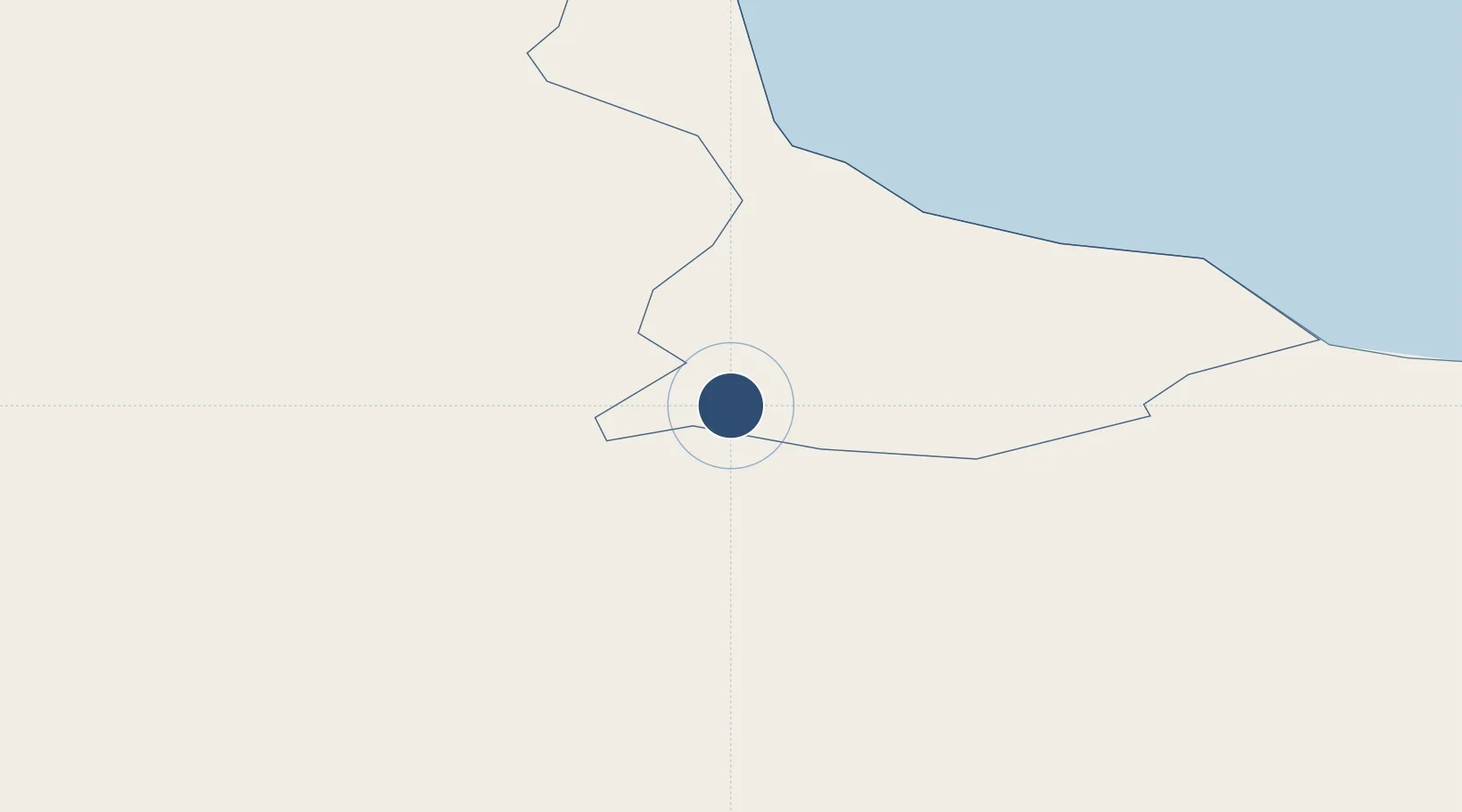
56.9422°, 23.2239°
8,197 ft
Longest runway
1
Runways
220 ft
Elevation
Runway & Layout

Runways · 1
| Runway | Dimensions | Surface | True heading | Lit |
|---|---|---|---|---|
| 13/31 | 8,197 × 131ft | Asphalt | — | — |
Airport Specifications
ICAO code
EVJA
Airport class
Medium airport
Scheduled service
No
Runway surface
Asphalt
Served city
Tukums
Location
Nearby Logistics Neighbours
Airports
- 1Riga International Airport45 km
- 2Ruhnu Airfield94 km
- 3Barysiai Airfield99 km
- 4Šiauliai International Airport117 km
- 5Liepāja International Airport138 km
Ports
- 1Riga53 km
- 2Salacgriva109 km
- 3Ventspils114 km
- 4Liepaja143 km
- 5Roomassaare148 km
Trade Zones
- 1Free Port of Riga53 km
- 2Akmenė Free Economic Zone83 km
- 3Free port of Ventspils115 km
- 4ō iauliai Free Economic Zone116 km
- 5Liepāja SEZ153 km
DatabookThe Record of Consolidated Knowledge
Latvia beyond logistics?