Economic Revitalization Project · Latvia
Liepāja SEZ Active
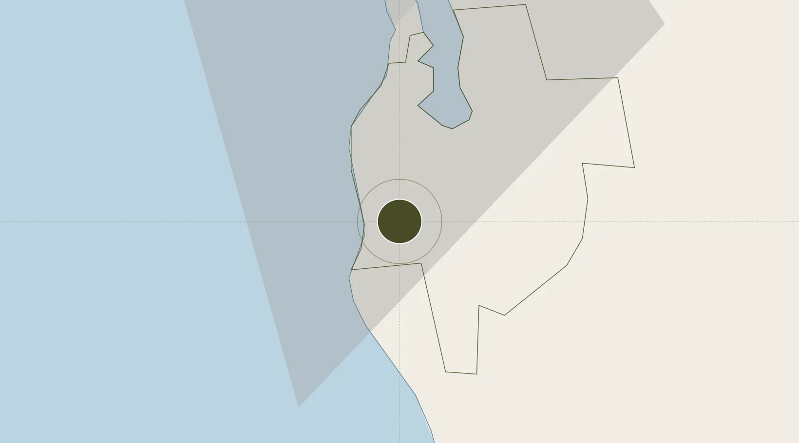
56.3036°, 21.0146°
3,979 ha
Zone area
23.7 km
Nearest port
24.3 km
Nearest airport
Gateway access
Zone profile
Zone type
Economic Revitalization Project
Region
Nicas
Status
Active
Management
Public-Private Partnership
Operator
The Board of Liepaja Special Economic Zone
Legal framework
Law On the Liepāja Special Economic Zone: adopted 17.02.1997, On the Application of Taxes in Free Ports and Special Economic Zones: Latvian Legislation: 2001
Location
Nearby Logistics Neighbours
Ports
- 1Liepaja24 km
- 2Butinge Oil Terminal30 km
- 3Klaipeda66 km
- 4Ventspils126 km
- 5Ronehamn178 km
Airports
- 1Liepāja International Airport24 km
- 2Palanga International Airport37 km
- 3Jūrmala Airport153 km
- 4Šiauliai International Airport155 km
- 5Khrabrovo Airport159 km
Trade Zones
- 1Klaipėda Free Economic Zone99 km
- 2Akmenė Free Economic Zone107 km
- 3Free port of Ventspils126 km
- 4ō iauliai Free Economic Zone153 km
- 5Free Port of Riga202 km
DatabookThe Record of Consolidated Knowledge
Latvia beyond logistics?