Medium airport · Lithuania

Barysiai AirfieldEYSB
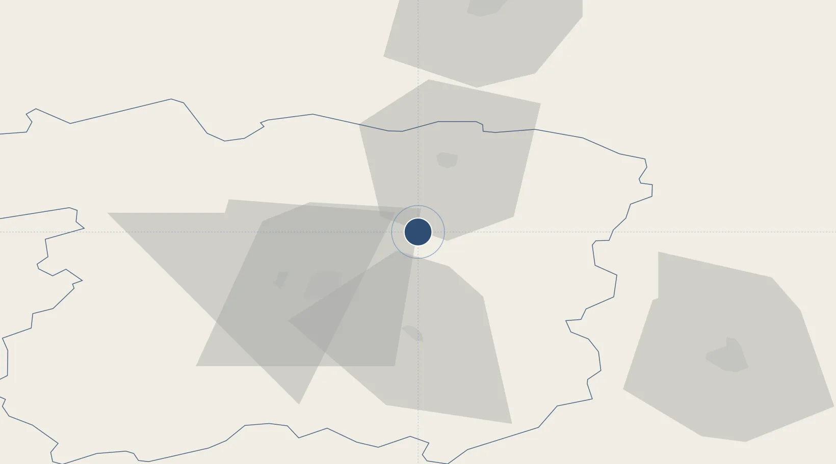
56.0706°, 23.5581°
3,281 ft
Longest runway
1
Runways
270 ft
Elevation

Runway & Layout

Barysiai Airfield runway & taxiway layout
Runway & taxiway layout — OpenStreetMap (ODbL) / OurAirports

Radio Frequencies

AFIS
122.05 MHz
INFO
OurAirports

Runways · 1

RunwayDimensions SurfaceTrue headingLit
10/28 3,281 × 98ft Asphalt 104°
OurAirports

Airport Specifications

ICAO code
EYSB
OurAirports
Airport class
Medium airport
OurAirports
Scheduled service
No
OurAirports
Runway surface
Asphalt
OurAirports
Served city
Šiauliai
OurAirports

Location

Location of EYSB
Natural Earth 10m (public domain) · Šiauliai · EYSB · 56.07, 23.56GoogleOSMYandex

Nearby Logistics Neighbours

Airports
  1. 1Šiauliai International Airport22 km
  2. 2Panevėžys Air Base68 km
  3. 3Kėdainiai Air Base88 km
  4. 4Riga International Airport98 km
  5. 5Jūrmala Airport99 km
Nearest neighbours — logibook spatial index (haversine) over the source coordinates
Cities
  1. 1Joniskis19 km
  2. 2Pakruojis22 km
  3. 3Radviliskis28 km
  4. 4Kursénai41 km
  5. 5Micaiciai42 km
Nearest neighbours — logibook spatial index (haversine) over the source coordinates
Ports
  1. 1Riga103 km
  2. 2Klaipeda157 km
  3. 3Butinge Oil Terminal162 km
  4. 4Liepaja165 km
  5. 5Salacgriva188 km
Nearest neighbours — logibook spatial index (haversine) over the source coordinates
Trade Zones
  1. 1ō iauliai Free Economic Zone22 km
  2. 2Akmenė Free Economic Zone54 km
  3. 3Panevėžys Free Economic Zone80 km
  4. 4Kėdainiai Free Economic Zone94 km
  5. 5Free Port of Riga104 km
Nearest neighbours — logibook spatial index (haversine) over the source coordinates
DatabookThe Record of Consolidated Knowledge
Lithuania beyond logistics?
Browse databook

All Sources

AirportsOurAirports
Public domain
Portsthe NGA World Port Index
Public domain (US gov)
LocationsUN/LOCODE
UN/LOCODE — free
Trade Zonesthe World Bank SEZ database
CC BY 4.0
Trade ZonesOpen Zone Map
CC BY
InfrastructureOpenStreetMap
ODbL 1.0
← Lithuania airports