Diversified Zone · Kenya

Africa Economic Zones Eldoret Under Development
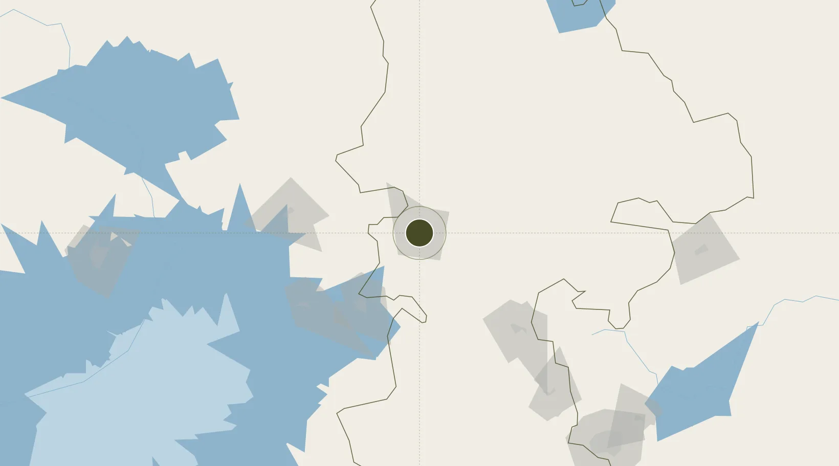
0.5008°, 35.2670°
9,259 ha
Zone area
680.7 km
Nearest port
11.2 km
Nearest airport

Gateway access

Nearest neighbours — logibook spatial index (haversine) over the source coordinates

Zone profile

Zone type
Diversified Zone
Open Zone Map
Region
Rift Valley
Open Zone Map
Status
Under Development
Open Zone Map
Management
Public-Private Partnership
Open Zone Map
Operator
Guangdong New South Group, Kenyan Association of Manufacturers, Kenya SEZ Authority
Open Zone Map
Legal framework
Special Economic Zones Act No. 16 of 2015
Open Zone Map

Location

Location of ozm-2656
Natural Earth 10m (public domain) · Rift Valley · ozm-2656 · 0.50, 35.27GoogleOSMYandex

Nearby Logistics Neighbours

Ports
  1. 1Malindi681 km
  2. 2Kilifi688 km
  3. 3Lamu698 km
  4. 4Mombasa705 km
  5. 5Tanga754 km
Nearest neighbours — logibook spatial index (haversine) over the source coordinates
Airports
  1. 1Eldoret International Airport11 km
  2. 2Kitale Airport63 km
  3. 3Kisumu International Airport89 km
  4. 4Lanet Military Airstrip133 km
  5. 5Laikipia Air Base203 km
Nearest neighbours — logibook spatial index (haversine) over the source coordinates
Cities
  1. 1Bungoma78 km
  2. 2Malaba112 km
  3. 3Siaya120 km
  4. 4Naivasha188 km
  5. 5Moroto230 km
Nearest neighbours — logibook spatial index (haversine) over the source coordinates
Trade Zones
  1. 1Kisumu Special Economic Zone70 km
  2. 2Tororo Industrial Park125 km
  3. 3Sino-Uganda Mbale Industrial Park141 km
  4. 4Naivasha Industrial Park185 km
  5. 5Oserian Two Lakes Industrial Park193 km
Nearest neighbours — logibook spatial index (haversine) over the source coordinates
DatabookThe Record of Consolidated Knowledge
Kenya beyond logistics?
Browse databook

All Sources

Trade ZonesOpen Zone Map
CC BY
Portsthe NGA World Port Index
Public domain (US gov)
AirportsOurAirports
Public domain
LocationsUN/LOCODE
UN/LOCODE — free
← Kenya trade zones