Medium airport · Kenya

Mara Serena Lodge AirstripHKMS
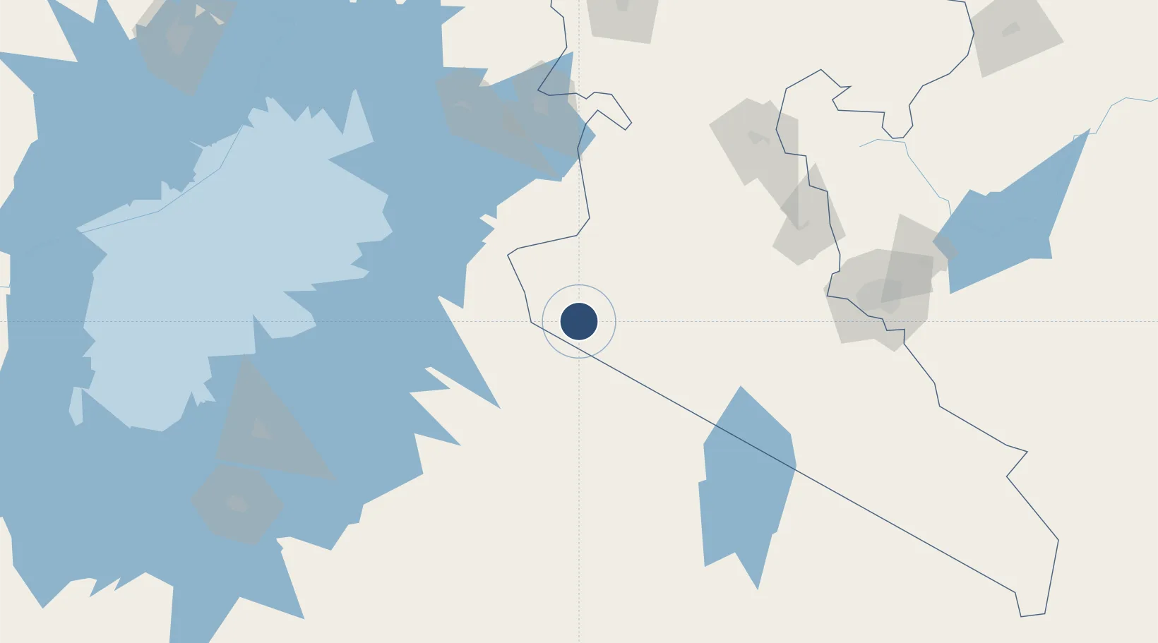
-1.4061°, 35.0081°
3,450 ft
Longest runway
1
Runways
5,200 ft
Elevation

Runway & Layout

Mara Serena Lodge Airstrip runway & taxiway layout
Runway & taxiway layout — OpenStreetMap (ODbL) / OurAirports

Runways · 1

RunwayDimensions SurfaceTrue headingLit
09/27 3,450 × —ft
OurAirports

Airport Specifications

IATA code
MRE
OurAirports
ICAO code
HKMS
OurAirports
Airport class
Medium airport
OurAirports
Scheduled service
Yes
OurAirports
Served city
Masai Mara
OurAirports

Location

Location of HKMS
Natural Earth 10m (public domain) · Rift Valley · HKMS · -1.41, 35.01GoogleOSMYandex

Nearby Logistics Neighbours

Airports
  1. 1Seronera Airport119 km
  2. 2Musoma Airport135 km
  3. 3Kisumu International Airport150 km
  4. 4Lanet Military Airstrip178 km
  5. 5Nairobi Wilson Airport201 km
Nearest neighbours — logibook spatial index (haversine) over the source coordinates
Cities
  1. 1Naivasha176 km
  2. 2Siaya183 km
  3. 3Nairobi208 km
  4. 4Bungoma225 km
  5. 5Malaba240 km
Nearest neighbours — logibook spatial index (haversine) over the source coordinates
Ports
  1. 1Kilifi594 km
  2. 2Mombasa596 km
  3. 3Malindi604 km
  4. 4Tanga613 km
  5. 5Lamu662 km
Nearest neighbours — logibook spatial index (haversine) over the source coordinates
Trade Zones
  1. 1Tairo Export Processing Zone148 km
  2. 2Bunda Export Processing Zone148 km
  3. 3Kisumu Special Economic Zone150 km
  4. 4Oserian Two Lakes Industrial Park163 km
  5. 5Naivasha Industrial Park178 km
Nearest neighbours — logibook spatial index (haversine) over the source coordinates
DatabookThe Record of Consolidated Knowledge
Kenya beyond logistics?
Browse databook

All Sources

AirportsOurAirports
Public domain
Portsthe NGA World Port Index
Public domain (US gov)
LocationsUN/LOCODE
UN/LOCODE — free
Trade Zonesthe World Bank SEZ database
CC BY 4.0
Trade ZonesOpen Zone Map
CC BY
InfrastructureOpenStreetMap
ODbL 1.0
← Kenya airports