Medium airport · Kenya

Lanet Military AirstripHKNK
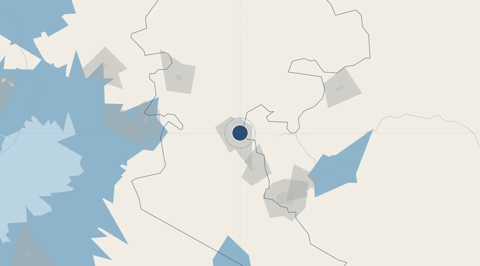
-0.2984°, 36.1592°
5,607 ft
Longest runway
1
Runways
6,234 ft
Elevation

Runway & Layout

Lanet Military Airstrip runway & taxiway layout
Runway & taxiway layout — OpenStreetMap (ODbL) / OurAirports

Radio Frequencies

Air to Air Local
118 MHz
Pilot contact when in the area
Tropic Air Ops
119.2 MHz
Call for info
OurAirports

Runways · 1

RunwayDimensions SurfaceTrue headingLit
14/32 5,607 × —ft Asphalt
OurAirports

Airport Specifications

IATA code
NUU
OurAirports
ICAO code
HKNK
OurAirports
Airport class
Medium airport
OurAirports
Scheduled service
No
OurAirports
Runway surface
Asphalt
OurAirports
Served city
Nakuru
OurAirports

Location

Location of HKNK
Natural Earth 10m (public domain) · Rift Valley · HKNK · -0.30, 36.16GoogleOSMYandex

Nearby Logistics Neighbours

Airports
  1. 1Nanyuki Airport102 km
  2. 2Laikipia Air Base103 km
  3. 3Eldoret International Airport129 km
  4. 4Moi Air Base134 km
  5. 5Nairobi Wilson Airport135 km
Nearest neighbours — logibook spatial index (haversine) over the source coordinates
Cities
  1. 1Naivasha56 km
  2. 2Nairobi141 km
  3. 3Bungoma202 km
  4. 4Siaya213 km
  5. 5Mwingi224 km
Nearest neighbours — logibook spatial index (haversine) over the source coordinates
Ports
  1. 1Malindi548 km
  2. 2Kilifi554 km
  3. 3Lamu571 km
  4. 4Mombasa572 km
  5. 5Tanga625 km
Nearest neighbours — logibook spatial index (haversine) over the source coordinates
Trade Zones
  1. 1Naivasha Industrial Park53 km
  2. 2Oserian Two Lakes Industrial Park65 km
  3. 3Tatu City Special Economic Zone126 km
  4. 4Northlands Special Economic Zone132 km
  5. 5Africa Economic Zones Eldoret133 km
Nearest neighbours — logibook spatial index (haversine) over the source coordinates
DatabookThe Record of Consolidated Knowledge
Kenya beyond logistics?
Browse databook

All Sources

AirportsOurAirports
Public domain
Portsthe NGA World Port Index
Public domain (US gov)
LocationsUN/LOCODE
UN/LOCODE — free
Trade Zonesthe World Bank SEZ database
CC BY 4.0
Trade ZonesOpen Zone Map
CC BY
InfrastructureOpenStreetMap
ODbL 1.0
← Kenya airports