Export Processing Zone · Kenya

Oserian Two Lakes Industrial Park Active
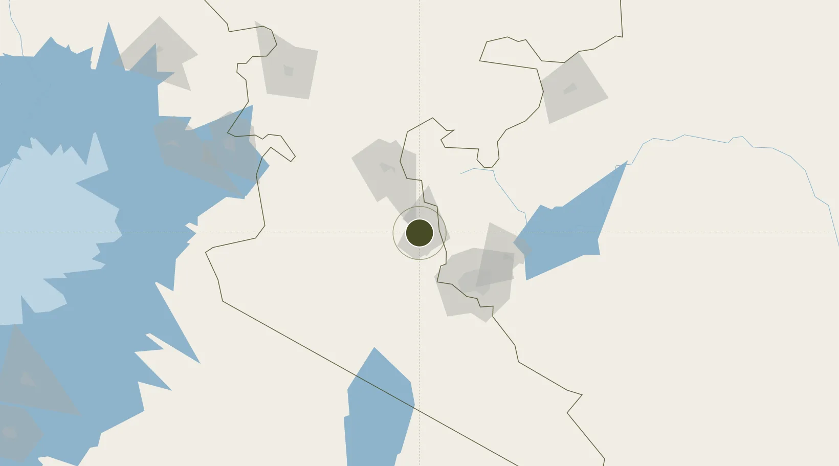
-0.8431°, 36.3624°
300 ha
Zone area
495.2 km
Nearest port
64.6 km
Nearest airport

Gateway access

Nearest neighbours — logibook spatial index (haversine) over the source coordinates

Zone profile

Zone type
Export Processing Zone
Open Zone Map
Region
Rift Valley
Open Zone Map
Status
Active
Open Zone Map
Management
Public-Private Partnership
Open Zone Map
Operator
Savo Project Developers, Kenya SEZ Authority
Open Zone Map
Legal framework
Special Economic Zones Act No. 16 of 2015
Open Zone Map

Location

Location of ozm-2660
Natural Earth 10m (public domain) · Rift Valley · ozm-2660 · -0.84, 36.36GoogleOSMYandex

Nearby Logistics Neighbours

Ports
  1. 1Malindi495 km
  2. 2Kilifi498 km
  3. 3Mombasa513 km
  4. 4Lamu529 km
  5. 5Tanga562 km
Nearest neighbours — logibook spatial index (haversine) over the source coordinates
Airports
  1. 1Lanet Military Airstrip65 km
  2. 2Nairobi Wilson Airport73 km
  3. 3Moi Air Base74 km
  4. 4Jomo Kenyatta International Airport82 km
  5. 5Nanyuki Airport115 km
Nearest neighbours — logibook spatial index (haversine) over the source coordinates
Cities
  1. 1Naivasha16 km
  2. 2Nairobi80 km
  3. 3Mwingi190 km
  4. 4Siaya252 km
  5. 5Bungoma254 km
Nearest neighbours — logibook spatial index (haversine) over the source coordinates
Trade Zones
  1. 1Naivasha Industrial Park20 km
  2. 2Tatu City Special Economic Zone70 km
  3. 3Northlands Special Economic Zone76 km
  4. 4Compact Free Trade Zone80 km
  5. 5Ahti River Export Processing Zone97 km
Nearest neighbours — logibook spatial index (haversine) over the source coordinates
DatabookThe Record of Consolidated Knowledge
Kenya beyond logistics?
Browse databook

All Sources

Trade ZonesOpen Zone Map
CC BY
Portsthe NGA World Port Index
Public domain (US gov)
AirportsOurAirports
Public domain
LocationsUN/LOCODE
UN/LOCODE — free
← Kenya trade zones